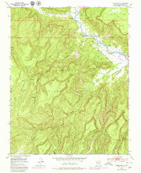
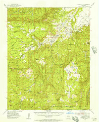
1953 Map of Laguna Peak
USGS Topo · Published 1980About this map
Rio Chama and Rio Gallina meet in this northern New Mexico landscape, a region defined by high mesas and deep-cut canyons. The confluence is overlooked by Mesa de los Viejos and the Gallina Bench Ranch, while further south the Abiquiu Reservoir begins to fill the Canyon de Chama. The terrain is characterized by numerous drainage networks known as cañadas, such as Cañada de los Indios and Cañada Gurule, which drain the massive plateaus of Mesa Laguna and Mesa Gurule.
Find a feature on this map
37 named features on this map. Tap any name to fly to it.
Don’t see what you’re looking for? This feature index may not catch every label — zoom into the map to look around manually.
Map Details
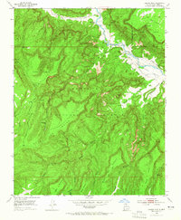
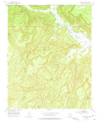
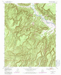
Editions of this 1953 Laguna Peak Map
5 editions found
Other maps of this area

1909 · Gallina
USGS Topo · 1:125,000

1940 · Cuba
USGS Topo · 1:62,500

1943 · Cuba
USGS Topo · 1:62,500

1953 · Alire
USGS Topo · 1:24,000

1953 · Echo Ampitheater
USGS Topo · 1:24,000

1953 · Arroyo Del Agua
USGS Topo · 1:24,000

1953 · Laguna Peak
USGS Topo · 1:24,000

1953 · Navajo Peak
USGS Topo · 1:24,000

1953 · Youngsville
USGS Topo · 1:24,000
1953 · Youngsville
USGS Topo · 1:62,500