
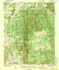
1943 Map of Cuba
USGS Topo · Published 1943About this map
Cuba and the surrounding high country of the Santa Fe National Forest are shown here as they appeared during the late 1930s and early 1940s. The landscape is defined by the sharp transition between the Mesa de Cuba and the eastern highlands of the San Pedro Peaks. Local life at this time centered around a network of rural schools and family-named landmarks, including the Rio Puerco Sch, La Jara Sch, and Vallecito Sch. The map documents a ranching and subsistence economy where small settlements like Gallina and Regina were linked by primitive roads and trails like the Puerco Trail. Genealogy researchers will find significant value in the distribution of ranching outposts such as Old Meatas Ranch and the V R Ranch, alongside the Capulin Cem near the northern boundary of the sheet.
Find a feature on this map
59 named features on this map. Tap any name to fly to it.
Don’t see what you’re looking for? This feature index may not catch every label — zoom into the map to look around manually.
Map Details
Editions of this 1943 Cuba Map
2 editions found
Other maps of this area

1883 · Mt. Taylor
USGS Topo · 1:250,000

1886 · Mt. Taylor
USGS Topo · 1:250,000

1889 · Largo
USGS Topo · 1:250,000

1890 · Jemes
USGS Topo · 1:125,000

1892 · Jemes
USGS Topo · 1:125,000

1892 · Mt. Taylor
USGS Topo · 1:250,000

1895 · Largo
USGS Topo · 1:250,000

1899 · Mt. Taylor
USGS Topo · 1:250,000

1909 · Gallina
USGS Topo · 1:125,000

1937 · Jemez Springs
USGS Topo · 1:48,000