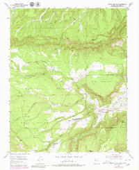
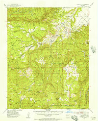
1953 Map of Arroyo Del Agua
USGS Topo · Published 1980About this map
The Rio Puerco river system carves through the high mesas of Rio Arriba County, anchoring the small settlement of Arroyo del Agua. This 1950s survey, updated with late-1970s aerial data, reveals a landscape defined by traditional land use and livestock movement across the Santa Fe National Forest. Educational and spiritual life centers on the Santa Teresa Church and the Mesa Poleo School, while the western terrain is marked by more isolated outposts like the Mesa Pinabetal School. The map's many drainage features, such as Agua Sarca Creek and Arroyo Salitral, illustrate the complex hydrology necessary for life on these plateaus. Dozens of family-named landmarks like Canada Gurule and Cordovas Spring reflect generations of local ranching history and land tenure.
Find a feature on this map
37 named features on this map. Tap any name to fly to it.
Don’t see what you’re looking for? This feature index may not catch every label — zoom into the map to look around manually.
Map Details
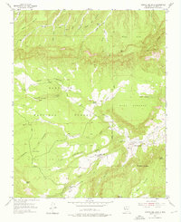
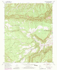
Editions of this 1953 Arroyo Del Agua Map
4 editions found
Other maps of this area

1909 · Gallina
USGS Topo · 1:125,000

1940 · Cuba
USGS Topo · 1:62,500

1943 · Cuba
USGS Topo · 1:62,500

1953 · Cerro Del Grant
USGS Topo · 1:24,000

1953 · Echo Ampitheater
USGS Topo · 1:24,000

1953 · Arroyo Del Agua
USGS Topo · 1:24,000
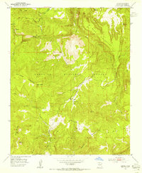
1953 · Jarosa
USGS Topo · 1:24,000

1953 · Laguna Peak
USGS Topo · 1:24,000

1953 · Youngsville
USGS Topo · 1:24,000
1953 · Youngsville
USGS Topo · 1:62,500