
1953 Map of Polvadera Peak
USGS Topo · Published 1954About this map
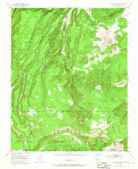
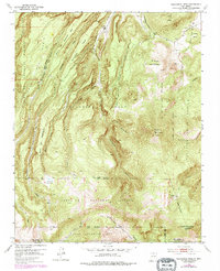
Polvadera Peak and Tschicoma Mountain dominate this mountainous landscape of northern New Mexico, where the peaks provide a backdrop for the timber and ranching activities of the early 1950s. The presence of the Polvadera Sawmill Camp along Polvadera Creek highlights the industrial character of the era, while named areas like Palo Quemador and Vallecitos suggest long-established seasonal grazing or small outposts. This area is a complex intersection of land jurisdictions, showing the clear boundaries of the Polvadera Grant and the Juan Jose Lobato Grant as they meet the Santa Fe National Forest. High-elevation wetlands such as Cienega Redonda and Cienega del Oso drain into a network of steep canyons, including those carved by Santa Clara Creek and the Rito del Oso. Traces of movement through the high country are recorded along the Pack Trail winding through the southwestern section of the quadrangle.
Find a feature on this map
40 named features on this map. Tap any name to fly to it.
Don’t see what you’re looking for? This feature index may not catch every label — zoom into the map to look around manually.
Map Details
Editions of this 1953 Polvadera Peak Map
3 editions found
Other maps of this area

1890 · Jemes
USGS Topo · 1:125,000

1892 · Jemes
USGS Topo · 1:125,000

1892 · Santa Clara
USGS Topo · 1:125,000

1909 · Gallina
USGS Topo · 1:125,000

1918 · Abiquiu
USGS Topo · 1:125,000

1937 · Jemez Springs
USGS Topo · 1:48,000

1944 · Jemez Springs
USGS Topo · 1:62,500

1952 · Valle Toledo
USGS Topo · 1:24,000

1952 · Jemez Springs
USGS Topo · 1:62,500

1952 · Guaje Mountain
USGS Topo · 1:24,000