
1953 Map of Vallecitos
USGS Topo · Published 1954About this map
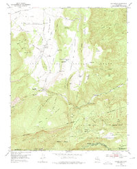
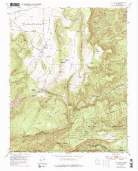
Town of Abiquiu Grant and the Juan Jose Lobato Grant overlap in this northern New Mexico landscape, where land tenure reflects centuries of settlement history. The map detail centers on the small community of Vallecitos and the nearby Recheulos, situated among the complex drainages of La Joya Tio Gregorio Creek and Polvadera Creek. The presence of the Rio del Oso Ranger Sta and the Santa Clara Ranger Sta indicates the early management of the Santa Fe National Forest, which borders the northern edge of the Santa Clara Indian Reservation. Significant topographical features like Mesa de la Gallina and Las Cuchillas define the terrain, while landmarks such as Larga Plaza and San Lorenzo Spring suggest historical points of interest for those tracing family roots or exploring the transition from traditional grants to modern federal land management.
Find a feature on this map
62 named features on this map. Tap any name to fly to it.
Don’t see what you’re looking for? This feature index may not catch every label — zoom into the map to look around manually.
Map Details
Editions of this 1953 Vallecitos Map
3 editions found
Other maps of this area

1892 · Santa Clara
USGS Topo · 1:125,000

1918 · Abiquiu
USGS Topo · 1:125,000

1952 · Valle Toledo
USGS Topo · 1:24,000

1952 · Puye
USGS Topo · 1:24,000

1952 · Guaje Mountain
USGS Topo · 1:24,000

1953 · Canones
USGS Topo · 1:24,000

1953 · Chili
USGS Topo · 1:24,000

1953 · Abiquiu
USGS Topo · 1:24,000

1953 · Medanales
USGS Topo · 1:24,000

1953 · Polvadera Peak
USGS Topo · 1:24,000