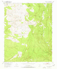
1953 Map of Magote Peak
USGS Topo · Published 1977About this map
Magote Ridge dominates this 1950s landscape within the Carson National Forest, where the terrain is carved by complex drainages like Ojito Chico and Cañon Largo. High-altitude water sources are critical features of this high-country environment, evidenced by scattered tanks and springs such as Magote Spring, Jose Maria Spring, and Laguna de las Ranas. Human activity is focused around small settlements and seasonal outposts including Magotito, Harris Bear Camp, and Rancherilla. The southern portion of the map is defined by the Juan Jose Lobato Grant boundary, indicating the persistent influence of Spanish land grants on modern land tenure. Navigating this area relied heavily on a network of primitive routes, including a significant Jeep Trail that follows the contours of the canyons and ridges toward El Rito.
Find a feature on this map
47 named features on this map. Tap any name to fly to it.
Don’t see what you’re looking for? This feature index may not catch every label — zoom into the map to look around manually.
Map Details
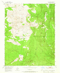
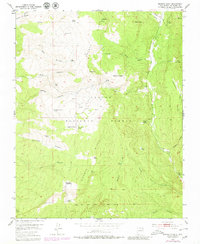
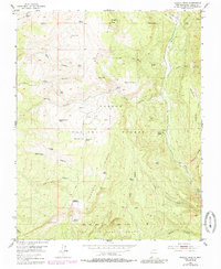
Editions of this 1953 Magote Peak Map
5 editions found
Other maps of this area

1918 · Abiquiu
USGS Topo · 1:125,000

1918 · Tusas
USGS Topo · 1:125,000

1953 · Valle Grande Peak
USGS Topo · 1:24,000

1953 · Magote Peak
USGS Topo · 1:24,000

1953 · Canjilon
USGS Topo · 1:24,000

1953 · El Rito
USGS Topo · 1:24,000

1953 · Canjilon SE
USGS Topo · 1:24,000

1953 · Ghost Ranch
USGS Topo · 1:24,000

1954 · Aztec
USGS Topo · 1:250,000

1955 · Cebolla
USGS Topo · 1:62,500