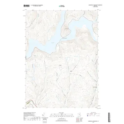
2019 Map of Cannonsville Reservoir
USGS Topo · Published 2019About this map
Cannonsville Reservoir dominates this Delaware County landscape, flooding the valley where the West Branch of the Delaware River once flowed. The surrounding topography is marked by steep ridges like Speedwell Mtn and deep drainages such as Dufton Hollow. Small upland settlements and transit points remain around the periphery of the water, including Kelsey and the rail-linked Kerry Siding.
Find a feature on this map
43 named features on this map. Tap any name to fly to it.
Don’t see what you’re looking for? This feature index may not catch every label — zoom into the map to look around manually.
Map Details
Editions of this 2019 Cannonsville Reservoir Map
This is the sole edition of this map. No revisions or reprints were ever made.
Other maps of this area

1920 · Long Eddy
USGS Topo · 1:62,500

1921 · Long Eddy
USGS Topo · 1:48,000

1923 · Long Eddy
USGS Topo · 1:62,500

1923 · Walton
USGS Topo · 1:48,000

1924 · Starrucca
USGS Topo · 1:48,000

1924 · Deposit
USGS Topo · 1:62,500

1925 · Walton
USGS Topo · 1:62,500

1926 · Deposit
USGS Topo · 1:62,500

1926 · Starrucca
USGS Topo · 1:62,500

1930 · Starrucca
USGS Topo · 1:48,000