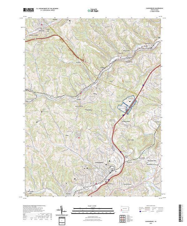
2023 Map of Canonsburg
USGS Topo · Published 2023About this map
Canonsburg and the surrounding Washington County landscape are defined by a complex network of valleys and winding waterways, notably Chartiers Creek and its various runs. The map shows a high density of religious and memorial sites, including the large National Cem of the Alleghenies near Hendersonville, and numerous denominationally specific burial grounds such as the Sacred Heart of Jesus Polish National Catholic Church Cem and the Payne African Methodist Episcopal Church Cem. This distribution reflects the diverse immigrant and labor history of the region's industrial past.
Find a feature on this map
89 named features on this map. Tap any name to fly to it.
Don’t see what you’re looking for? This feature index may not catch every label — zoom into the map to look around manually.
Map Details
Editions of this 2023 Canonsburg Map
This is the sole edition of this map. No revisions or reprints were ever made.
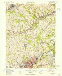
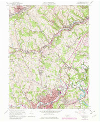
Historical Maps of National Hill Through Time
3 maps found