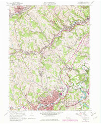
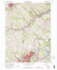
1960 Map of Canonsburg
USGS Topo · Published 1979About this map
Canonsburg and its surrounding coal-country townships define this topographic survey, which documents the industrial and residential development across the Allegheny Co and Washington Co line. The landscape is heavily marked by its resource economy, featuring numerous Mine Dumps, Quarries, and a network of Oil and Gas Wells. Transportation infrastructure is a central theme, with the Montour RR and Norfolk and Western lines threading through the valley of Millers Run.
Find a feature on this map
81 named features on this map. Tap any name to fly to it.
Don’t see what you’re looking for? This feature index may not catch every label — zoom into the map to look around manually.
Map Details
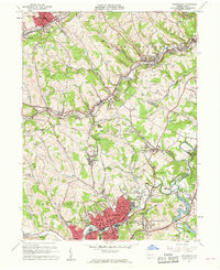
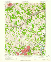
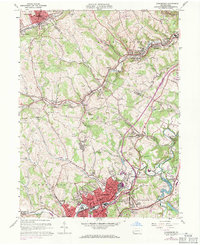
Editions of this 1960 Canonsburg Map
5 editions found
Other maps of this area

1901 · Amity
USGS Topo · 1:62,500

1904 · Amity
USGS Topo · 1:62,500

1904 · Carnegie
USGS Topo · 1:62,500

1904 · Burgettstown
USGS Topo · 1:62,500

1906 · Burgettstown
USGS Topo · 1:62,500

1906 · Carnegie
USGS Topo · 1:62,500

1907 · Claysville
USGS Topo · 1:62,500

1908 · Carnegie
USGS Topo · 1:62,500

1948 · Pittsburgh West
USGS Topo · 1:24,000
1951 · Pittsburgh West
USGS Topo · 1:24,000