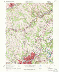
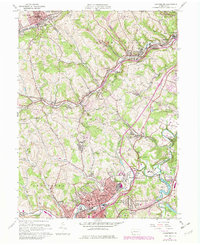
1960 Map of Canonsburg
USGS Topo · Published 1971About this map
Canonsburg and the surrounding coal-country settlements of Washington County show a landscape deeply shaped by heavy industry and mining. By the early 1960s, the area from McDonald down to Houston was a network of active and former mine sites, marked by numerous mine dumps and a strip mine near McConnells Mills. The Montour RR and Penn Central lines weave through the valleys, following watercourses like Chartiers Creek and Millers Run, which once powered the region's early growth.
Find a feature on this map
91 named features on this map. Tap any name to fly to it.
Don’t see what you’re looking for? This feature index may not catch every label — zoom into the map to look around manually.
Map Details
Editions of this 1960 Canonsburg Map
5 editions found
Other maps of this area

1901 · Amity
USGS Topo · 1:62,500

1904 · Amity
USGS Topo · 1:62,500

1904 · Carnegie
USGS Topo · 1:62,500

1904 · Burgettstown
USGS Topo · 1:62,500

1906 · Burgettstown
USGS Topo · 1:62,500

1906 · Carnegie
USGS Topo · 1:62,500

1907 · Claysville
USGS Topo · 1:62,500

1908 · Carnegie
USGS Topo · 1:62,500

1948 · Pittsburgh West
USGS Topo · 1:24,000
1951 · Pittsburgh West
USGS Topo · 1:24,000