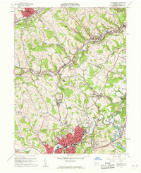
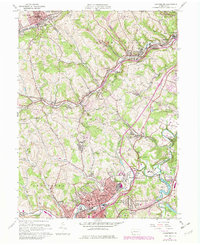
1960 Map of Canonsburg
USGS Topo · Published 1961About this map
Canonsburg and the surrounding Washington County landscape are defined by the dense intersection of heavy industry and mid-century suburban expansion. The valley of Chartiers Creek serves as a primary corridor, where the Pennsylvania RR and Montour RR facilitated the transport of coal from numerous mine dumps and strip mines that pockmark the hillsides. The influence of family and religious heritage is visible in the distribution of community anchors like St Patricks Cem, Oak Springs Cem, and the Millers Run Ch.
Find a feature on this map
91 named features on this map. Tap any name to fly to it.
Don’t see what you’re looking for? This feature index may not catch every label — zoom into the map to look around manually.
Map Details
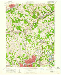
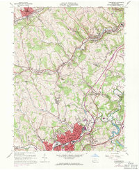
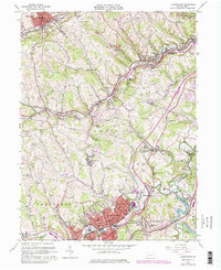
Editions of this 1960 Canonsburg Map
5 editions found
Other maps of this area

1901 · Amity
USGS Topo · 1:62,500

1904 · Amity
USGS Topo · 1:62,500

1904 · Carnegie
USGS Topo · 1:62,500

1904 · Burgettstown
USGS Topo · 1:62,500

1906 · Burgettstown
USGS Topo · 1:62,500

1906 · Carnegie
USGS Topo · 1:62,500

1907 · Claysville
USGS Topo · 1:62,500

1908 · Carnegie
USGS Topo · 1:62,500

1948 · Pittsburgh West
USGS Topo · 1:24,000
1951 · Pittsburgh West
USGS Topo · 1:24,000