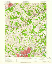
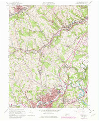
1960 Map of Canonsburg
USGS Topo · Published 1961About this map
Canonsburg stands as a dense industrial and residential hub in this 1960s study of Washington County, where the sprawling State Training School and Morganza Reservoir define the central landscape. The era's coal and rail legacy is visible in the network of the Pennsylvania and Pittsburgh and West Virginia railroads which serve settlements like Muse, Cecil, and Hendersonville. The map illustrates a complex transition between the valley floors, where Chartiers Creek winds past Strabane and Houston, and the upland ridges marked by Sygat Hill and National Hill. Local genealogy is well-supported by numerous landmarks, including St Patricks Cem, Millers Run Ch, and named housing developments like Borland Manor. Evidence of heavy industry persists through features such as the Gladden Mine and various strip mines, documenting the region's mid-century economic character.
Find a feature on this map
68 named features on this map. Tap any name to fly to it.
Don’t see what you’re looking for? This feature index may not catch every label — zoom into the map to look around manually.
Map Details
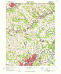
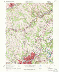
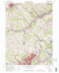
Editions of this 1960 Canonsburg Map
5 editions found
Other maps of this area

1901 · Amity
USGS Topo · 1:62,500

1904 · Amity
USGS Topo · 1:62,500

1904 · Carnegie
USGS Topo · 1:62,500

1904 · Burgettstown
USGS Topo · 1:62,500

1906 · Burgettstown
USGS Topo · 1:62,500

1906 · Carnegie
USGS Topo · 1:62,500

1907 · Claysville
USGS Topo · 1:62,500

1908 · Carnegie
USGS Topo · 1:62,500

1948 · Pittsburgh West
USGS Topo · 1:24,000
1951 · Pittsburgh West
USGS Topo · 1:24,000