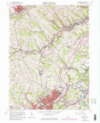
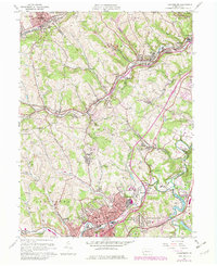
1960 Map of Canonsburg
USGS Topo · Published 1979About this map
Chartiers Creek winds through this industrial and residential landscape of the northern Washington Co coalfields during a period of significant postwar suburbanization and infrastructure growth. The dense settlement of Canonsburg serves as a focal point, neighboring the planned community of Strabane and the borough of Houston. The map illustrates the region's transition from a heavy mining economy to a modern transport hub, as evidenced by the bold purple addition of Interstate 79 cutting through the center of the sheet, crossing over established rail lines like the Montour RR and Conrail.
Find a feature on this map
66 named features on this map. Tap any name to fly to it.
Don’t see what you’re looking for? This feature index may not catch every label — zoom into the map to look around manually.
Map Details
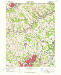
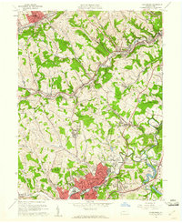
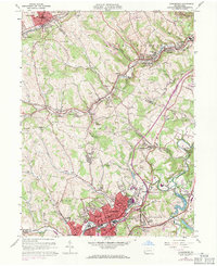
Editions of this 1960 Canonsburg Map
5 editions found
Other maps of this area

1901 · Amity
USGS Topo · 1:62,500

1904 · Amity
USGS Topo · 1:62,500

1904 · Carnegie
USGS Topo · 1:62,500

1904 · Burgettstown
USGS Topo · 1:62,500

1906 · Burgettstown
USGS Topo · 1:62,500

1906 · Carnegie
USGS Topo · 1:62,500

1907 · Claysville
USGS Topo · 1:62,500

1908 · Carnegie
USGS Topo · 1:62,500

1948 · Pittsburgh West
USGS Topo · 1:24,000
1951 · Pittsburgh West
USGS Topo · 1:24,000