
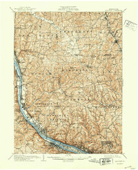
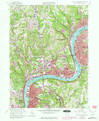
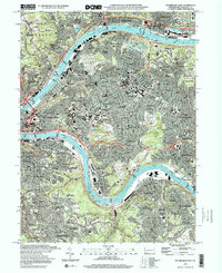
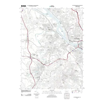
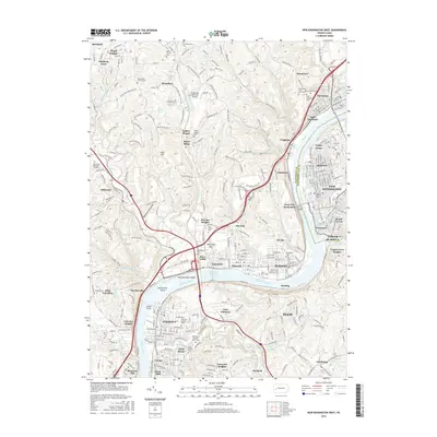
1948 Map of Pittsburgh West
USGS Topo · Published 1954About this map
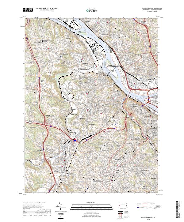
The Ohio River forms the industrial backbone of this western Pittsburgh landscape, where the Allegheny River and Monongahela River converge. This survey captures a highly developed riverine corridor defined by massive infrastructure and civic institutions, including the Western State Penitentiary and the expansive McKees Rocks Bridge. Steep topography separates the dense urban wards from residential boroughs like Crafton, Bellevue, and Carnegie, while numerous family and religious burial grounds such as Highwood Cemetery and St Marys Cem reflect the area’s deep ancestral roots.
Find a feature on this map
85 named features on this map. Tap any name to fly to it.
Don’t see what you’re looking for? This feature index may not catch every label — zoom into the map to look around manually.
Map Details
Editions of this 1948 Pittsburgh West Map
This is the sole edition of this map. No revisions or reprints were ever made.
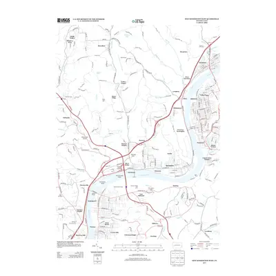
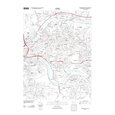
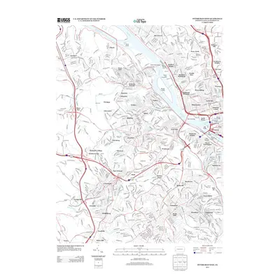
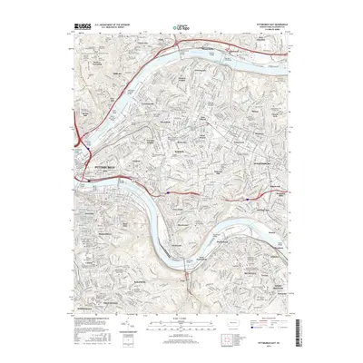
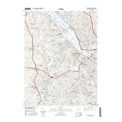
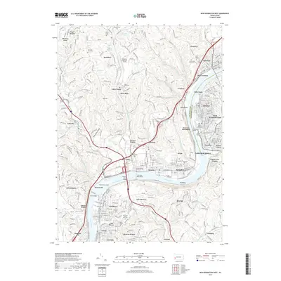
Historical Maps of Pittsburgh Through Time
34 maps found

1906 Sewickley
Allegheny County, PA
1908 Sewickley
Allegheny County, PA
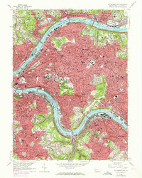
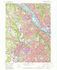
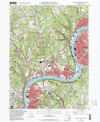
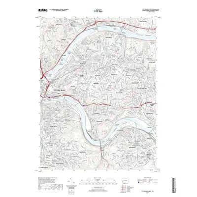
1948 Pittsburgh West
Allegheny County, PA
1951 Pittsburgh East
Allegheny County, PA
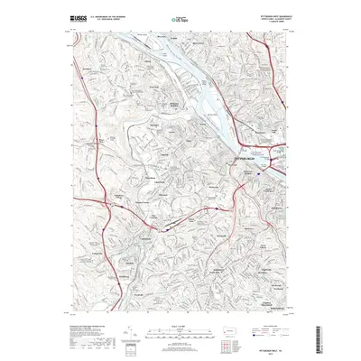
1951 Pittsburg West
Allegheny County, PA

1953 Mc Keesport
Allegheny County, PA

1953 New Kensington West
Allegheny County, PA

1956 Pittsburgh East
Allegheny County, PA

1956 Pittsburgh West
Allegheny County, PA
1960 Mc Keesport
Allegheny County, PA
1960 New Kensington West
Allegheny County, PA
1960 Pittsburgh East
Allegheny County, PA
1960 Pittsburgh West
Allegheny County, PA

1993 Mc Keesport
Allegheny County, PA
1993 New Kensington West
Allegheny County, PA

1993 Pittsburgh East
Allegheny County, PA

1993 Pittsburgh West
Allegheny County, PA
1997 Pittsburgh East
Allegheny County, PA
1997 Pittsburgh West
Allegheny County, PA
2010 New Kensington West
Allegheny County, PA
2010 Pittsburgh East
Allegheny County, PA
2010 Pittsburgh West
Allegheny County, PA
2013 New Kensington West
Allegheny County, PA
2013 Pittsburgh East
Allegheny County, PA
2013 Pittsburgh West
Allegheny County, PA
2016 New Kensington West
Allegheny County, PA
2016 Pittsburgh East
Allegheny County, PA
2016 Pittsburgh West
Allegheny County, PA
2019 New Kensington West
Allegheny County, PA
2019 Pittsburgh East
Allegheny County, PA
2019 Pittsburgh West
Allegheny County, PA
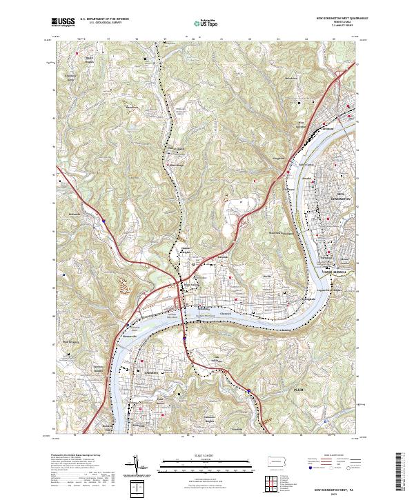
2023 New Kensington West
Allegheny County, PA
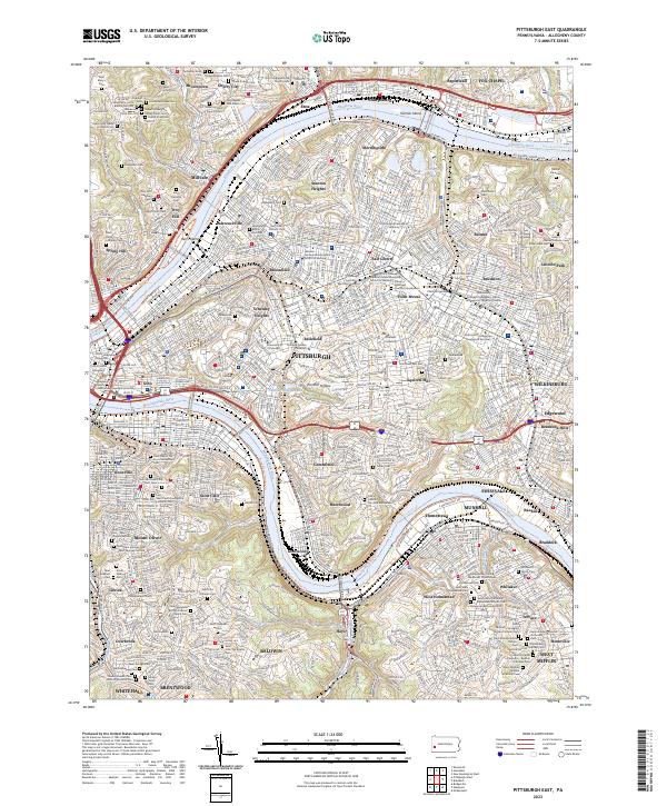
2023 Pittsburgh East
Allegheny County, PA
2023 Pittsburgh West
Allegheny County, PA