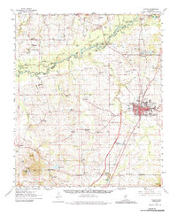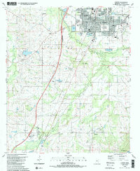
2024 Map of Canton
USGS Topo · Published 2024About this map
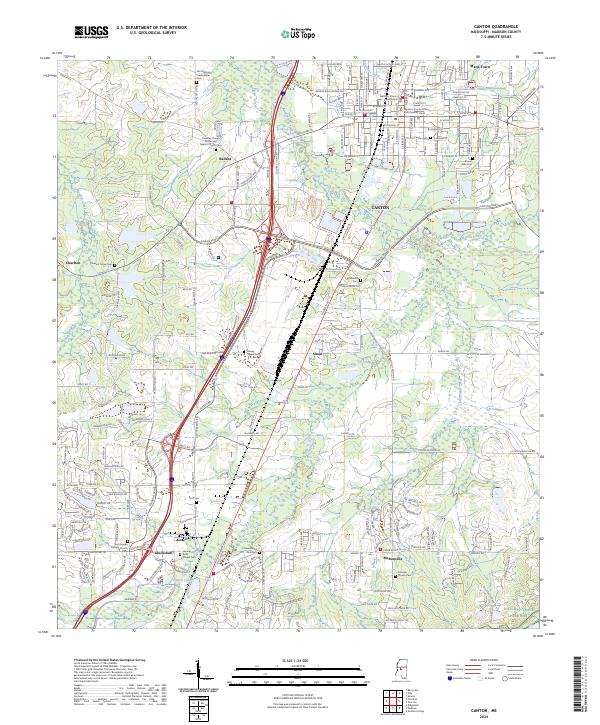
The Madison County Courthouse stands as the central landmark for this region, anchoring the historic seat of Canton. The landscape surrounding the town is defined by a dense concentration of legacy burial grounds and rural churches, including the Old Madison Presbyterian Cem and Priestley Chapel Missionary Baptist Church. To the south, the community of Gluckstadt marks a significant area of development near Patton Lake, while the Natchez Trace Parkway and the Natchez Trace National Scenic Trl cut through the southeastern corner, preserving a corridor of historic transit. Waterways like Bear Creek and Panther Creek drain the undulating terrain between smaller settlements such as Ballard, Sloan, and Maris Town. The distribution of cemeteries like Buckhorn Cem and Harvey Chapel Cem suggests a long-established rural social fabric that persists even as modern infrastructure expands around the Interstate 55 corridor.
Find a feature on this map
189 named features on this map. Tap any name to fly to it.
Don’t see what you’re looking for? This feature index may not catch every label — zoom into the map to look around manually.
Map Details
Editions of this 2024 Canton Map
This is the sole edition of this map. No revisions or reprints were ever made.