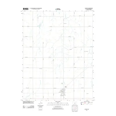
2012 Map of Canton
USGS Topo · Published 2012About this map
Canton serves as the central hub for this portion of eastern McPherson County, where the grid-based agricultural landscape is defined by its seasonal waterways and energy production. The town itself is compactly organized around the McPherson County Fairgrounds and the local Post Office, with residential streets like Maple and Olive leading toward the open prairie. Surrounding the settlement, the extraction of natural resources is evident in the Paden Oil Field, Canton North Oil Field, and Jenday Oil Field, which punctuate the rural sections alongside family and community burial grounds such as Oakes Cem and Township Cem.
Find a feature on this map
39 named features on this map. Tap any name to fly to it.
Don’t see what you’re looking for? This feature index may not catch every label — zoom into the map to look around manually.
Map Details
Editions of this 2012 Canton Map
This is the sole edition of this map. No revisions or reprints were ever made.
Other maps of this area

1889 · Newton
USGS Topo · 1:125,000

1889 · Abilene
USGS Topo · 1:125,000

1891 · Hutchinson
USGS Topo · 1:125,000

1892 · Salina
USGS Topo · 1:125,000

1893 · Hutchinson
USGS Topo · 1:125,000

1894 · Newton
USGS Topo · 1:125,000

1894 · Abilene
USGS Topo · 1:125,000

1942 · Salina
USGS Topo · 1:125,000

1955 · Hutchinson
USGS Topo · 1:250,000

1959 · Hutchinson
USGS Topo · 1:250,000