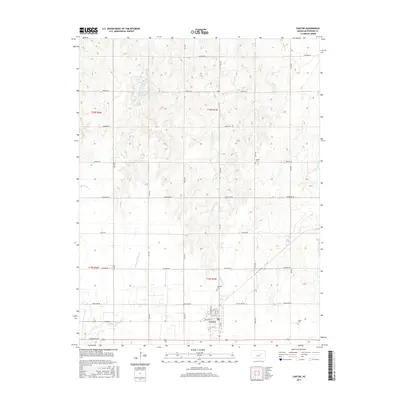
2015 Map of Canton
USGS Topo · Published 2015About this map
Canton serves as the primary hub for this central Kansas landscape, where a grid of rural roads named for native tribes and trails—such as Navajo Rd, Pawnee Rd, and Quivera Rd—defines the agricultural terrain. The town itself is compactly structured around Main St and Kansas Ave, with the nearby Township Cem and Jones Cem providing significant genealogical anchor points for researchers of McPherson County families.
Find a feature on this map
31 named features on this map. Tap any name to fly to it.
Don’t see what you’re looking for? This feature index may not catch every label — zoom into the map to look around manually.
Map Details
Editions of this 2015 Canton Map
This is the sole edition of this map. No revisions or reprints were ever made.
Other maps of this area

1889 · Newton
USGS Topo · 1:125,000

1889 · Abilene
USGS Topo · 1:125,000

1891 · Hutchinson
USGS Topo · 1:125,000

1892 · Salina
USGS Topo · 1:125,000

1893 · Hutchinson
USGS Topo · 1:125,000

1894 · Newton
USGS Topo · 1:125,000

1894 · Abilene
USGS Topo · 1:125,000

1942 · Salina
USGS Topo · 1:125,000

1955 · Hutchinson
USGS Topo · 1:250,000

1959 · Hutchinson
USGS Topo · 1:250,000