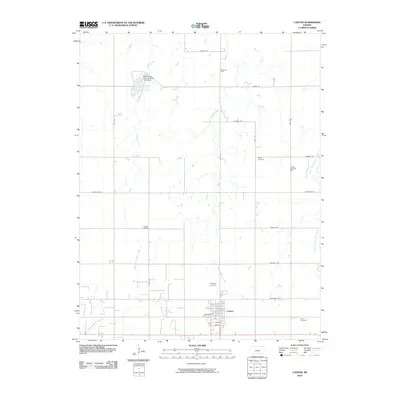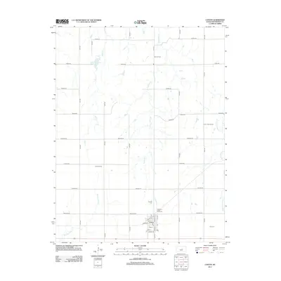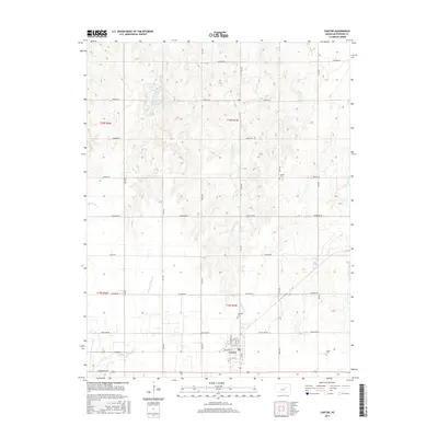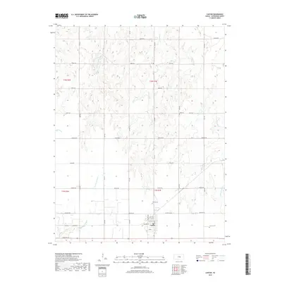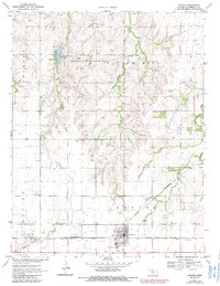
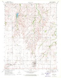
1971 Map of Canton
USGS Topo · Published 1985About this map
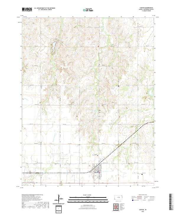
Canton serves as the primary hub in this central Kansas landscape, where the prairie is defined by a dense network of energy infrastructure and agricultural management. The Ritz-Canton Oil Field and Jenday Oil Field dominate the southern and western portions of the quadrangle, marked by numerous oil wells and a traversing Pipeline. This industrial presence contrasts with the conservation efforts at the Maxwell State Wildlife Area, which surrounds the McPherson County State Lake. Local landmarks such as the Lookout Tower and Battle Hill provide vertical relief in an otherwise gently undulating terrain. Transportation is anchored by the Atchison Topeka and Santa Fe railroad, which cuts through the southern edge of town near the Home for the Aged. Traces of rural community life appear in the dispersed United Center Sch and several local burying grounds including Oakes Cem and Township Cem.
Find a feature on this map
29 named features on this map. Tap any name to fly to it.
Don’t see what you’re looking for? This feature index may not catch every label — zoom into the map to look around manually.
Map Details
Editions of this 1971 Canton Map
2 editions found
Historical Maps of Canton Through Time
6 maps found