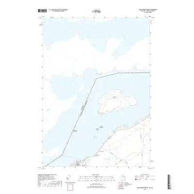
2019 Map of Cape Vincent North
USGS Topo · Published 2019About this map
Saint Lawrence River maritime history and international boundaries converge at this strategic point in Jefferson County. The village of Cape Vincent occupies the riverfront, serving as a gateway where the water meets the boundary of the Canada and United States of America. Just offshore, the large Carleton Island dominates the channel, flanked by shallow hazards like Hinckley Flats Shoal and Feather Bed Shoal.
Find a feature on this map
24 named features on this map. Tap any name to fly to it.
Don’t see what you’re looking for? This feature index may not catch every label — zoom into the map to look around manually.
Map Details
Editions of this 2019 Cape Vincent North Map
This is the sole edition of this map. No revisions or reprints were ever made.
Other maps of this area

1895 · Cape Vincent
USGS Topo · 1:62,500

1900 · Clayton
USGS Topo · 1:62,500

1903 · Grindstone
USGS Topo · 1:62,500

1903 · Clayton
USGS Topo · 1:62,500

1942 · Cape Vincent North
USGS Topo · 1:31,680

1942 · Chaumont
USGS Topo · 1:31,680

1942 · Sawmill Bay
USGS Topo · 1:31,680

1942 · Cape Vincent South
USGS Topo · 1:31,680
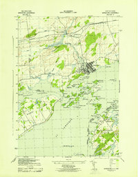
1943 · Grindstone
USGS Topo · 1:31,680
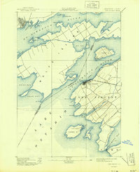
1944 · Cape Vincent
USGS Topo · 1:62,500