
1942 Map of Cape Vincent North
USGS Topo · Published 1942About this map
The St Lawrence River serves as the international boundary in this 1942 survey, dividing the village of Cape Vincent in New York from the large Canadian landmasses of Wolfe Island and Howe Island. The map illustrates a strategic maritime corridor, highlighted by the Carleton Lighthouse on Carleton Island and the Gaging Sta along the riverbank. This wartime-era documentation, compiled with assistance from the Tennessee Valley Authority, provides a clear view of the rural infrastructure on the American shore, including School No 13 and School No 5. Local genealogy is well-served by the inclusion of Riverside Cem and Judd Cem, while the shoreline features recreation and conservation at Burnham Pt State Park and Poplar Tree Bay. The intricate coastal geography is defined by numerous points and bays, such as Alexandria Point and Bayfield Bay, reflecting the region's historical reliance on river transport and fishing.
Find a feature on this map
32 named features on this map. Tap any name to fly to it.
Don’t see what you’re looking for? This feature index may not catch every label — zoom into the map to look around manually.
Map Details
Editions of this 1942 Cape Vincent North Map
This is the sole edition of this map. No revisions or reprints were ever made.
Other maps of this area

1895 · Cape Vincent
USGS Topo · 1:62,500

1900 · Clayton
USGS Topo · 1:62,500

1903 · Grindstone
USGS Topo · 1:62,500

1903 · Clayton
USGS Topo · 1:62,500

1942 · Chaumont
USGS Topo · 1:31,680

1942 · Sawmill Bay
USGS Topo · 1:31,680

1942 · Cape Vincent South
USGS Topo · 1:31,680
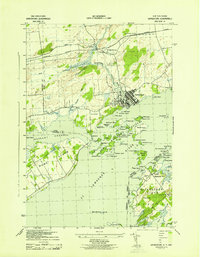
1943 · Grindstone
USGS Topo · 1:31,680
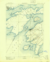
1944 · Cape Vincent
USGS Topo · 1:62,500
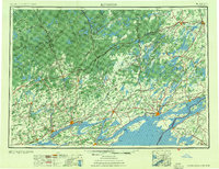
1954 · Kingston
USGS Topo · 1:250,000