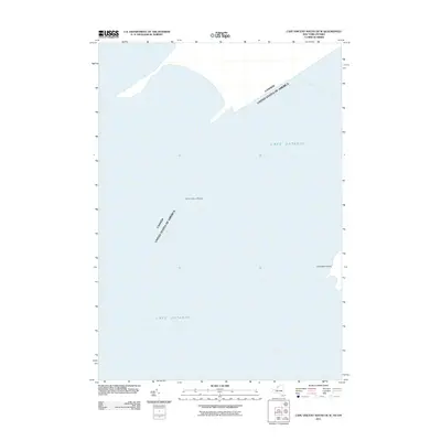
2011 Map of Cape Vincent South OE W
USGS Topo · Published 2011About this map
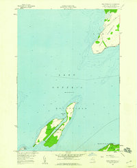
Lake Ontario dominates this maritime expanse at the northeastern edge of the Great Lakes. The map illustrates the international boundary as it passes through the open waters between the Canada-United States border. This specific survey area highlights the hazards and landforms near the entrance to the St. Lawrence River, including the submerged Allan Otty Shoal and the western shoreline of Grenadier Island. The placement of these features relative to the international line reflects the navigational importance of this stretch of water for commercial and recreational vessels moving between New York and Ontario.
Find a feature on this map
4 named features on this map. Tap any name to fly to it.
Don’t see what you’re looking for? This feature index may not catch every label — zoom into the map to look around manually.
Map Details
Editions of this 2011 Cape Vincent South OE W Map
This is the sole edition of this map. No revisions or reprints were ever made.
Other maps of this area

1895 · Stony Island
USGS Topo · 1:62,500

1895 · Cape Vincent
USGS Topo · 1:62,500

1942 · Cape Vincent North
USGS Topo · 1:31,680

1942 · Galloo Island
USGS Topo · 1:31,680

1942 · Cape Vincent South
USGS Topo · 1:31,680

1942 · Point Peninsula
USGS Topo · 1:31,680
1944 · Cape Vincent
USGS Topo · 1:62,500
1954 · Kingston
USGS Topo · 1:250,000
1958 · Galloo Island
USGS Topo · 1:24,000
1958 · Point Peninsula
USGS Topo · 1:24,000