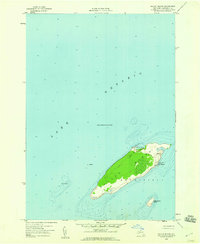
1958 Map of Galloo Island
USGS Topo · Published 1960About this map
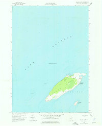
Galloo Island rises from the eastern waters of Lake Ontario, anchoring a maritime landscape shaped by navigation and utility in the late 1950s. Located within the township of Hounsfield, this isolated terrain is defined by its critical role in Great Lakes passage, featuring the Galloo Island Lighthouse on its southwestern point and a Coast Guard Station situated at Gill Harbor. The interior of the island is divided between open space and a significant wooded center, while its perimeter includes precarious nautical hazards like Galloo Shoal and the nearby Little Galloo Island. Notable for maritime historians, the map identifies specific Wreckage off the northwestern shore and a Lookout Tower on the island's higher ground, reflecting a period when active surveillance and light keeping were essential for the safety of vessels traversing these treacherous waters.
Find a feature on this map
11 named features on this map. Tap any name to fly to it.
Don’t see what you’re looking for? This feature index may not catch every label — zoom into the map to look around manually.
Map Details
Editions of this 1958 Galloo Island Map
2 editions found
Other maps of this area

1895 · Stony Island
USGS Topo · 1:62,500

1895 · Cape Vincent
USGS Topo · 1:62,500

1942 · Stony Point
USGS Topo · 1:31,680

1942 · Galloo Island
USGS Topo · 1:31,680

1942 · Cape Vincent South
USGS Topo · 1:31,680

1942 · Point Peninsula
USGS Topo · 1:31,680
1944 · Cape Vincent
USGS Topo · 1:62,500
1954 · Kingston
USGS Topo · 1:250,000
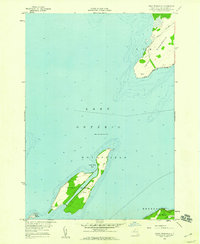
1958 · Point Peninsula
USGS Topo · 1:24,000
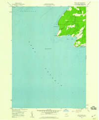
1958 · Stony Point
USGS Topo · 1:24,000