
1942 Map of Stony Point
USGS Topo · Published 1942About this map
Lake Ontario dominates the western horizon of this Jefferson County shoreline, where the strategic peninsula of Stony Point reaches into the water. In the early 1940s, this landscape was defined by the dual presence of maritime navigation and wartime military preparation. The Stony Point Light House stands at the tip of the headland, while a significant portion of the interior is occupied by the U. S. Military Reservation Stony Point Rifle Range.
Find a feature on this map
13 named features on this map. Tap any name to fly to it.
Don’t see what you’re looking for? This feature index may not catch every label — zoom into the map to look around manually.
Map Details
Editions of this 1942 Stony Point Map
This is the sole edition of this map. No revisions or reprints were ever made.
Other maps of this area

1893 · Sackets Harbor
USGS Topo · 1:62,500

1895 · Sacketts Harbor
USGS Topo · 1:62,500

1895 · Stony Island
USGS Topo · 1:62,500

1895 · Pulaski
USGS Topo · 1:62,500

1942 · Henderson Bay
USGS Topo · 1:31,680

1942 · Galloo Island
USGS Topo · 1:31,680

1942 · Point Peninsula
USGS Topo · 1:31,680

1943 · Henderson
USGS Topo · 1:31,680
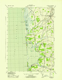
1943 · Ellisburg
USGS Topo · 1:31,680
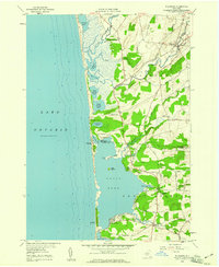
1958 · Ellisburg
USGS Topo · 1:24,000