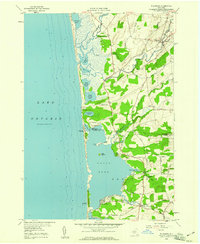
1958 Map of Ellisburg
USGS Topo · Published 1960About this map
Lake Ontario defines the western margin of this 1958 survey, where a complex network of barrier ponds and marshes shapes the coastal landscape. Moving inland from the lake, a series of interconnected water bodies like Lakeview Pond, North Colwell Pond, and Cranberry Pond separate the shoreline from the rising ground of Colwell Hill. The settlement of Ellisburg sits at the convergence of Sandy Creek and Bear Creek, serving as a focal point for the inland agricultural community.
Find a feature on this map
55 named features on this map. Tap any name to fly to it.
Don’t see what you’re looking for? This feature index may not catch every label — zoom into the map to look around manually.
Map Details
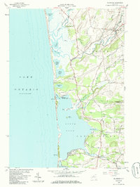
Editions of this 1958 Ellisburg Map
2 editions found
Other maps of this area

1893 · Sackets Harbor
USGS Topo · 1:62,500

1895 · Sacketts Harbor
USGS Topo · 1:62,500

1895 · Stony Island
USGS Topo · 1:62,500

1895 · Pulaski
USGS Topo · 1:62,500

1942 · Stony Point
USGS Topo · 1:31,680

1942 · Sandy Creek
USGS Topo · 1:24,000

1943 · Henderson
USGS Topo · 1:31,680

1943 · Pulaski
USGS Topo · 1:31,680

1943 · Richland
USGS Topo · 1:31,680

1943 · Texas
USGS Topo · 1:31,680