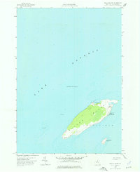
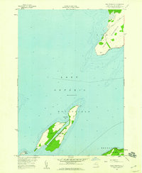
1958 Map of Galloo Island
USGS Topo · Published 1976About this map
Galloo Island rises from the eastern waters of Lake Ontario as a critical maritime waypoint in the town of Hounsfield. Based on planetable surveys from the late 1950s, this chart documents the island's navigational and defensive role through the presence of the Galloo Island Lighthouse at its southwestern tip and a Coast Guard Station at Gill Harbor. The shoreline is characterized by natural features like North Pond and the nearby Little Galloo Island to the southeast.
Find a feature on this map
12 named features on this map. Tap any name to fly to it.
Don’t see what you’re looking for? This feature index may not catch every label — zoom into the map to look around manually.
Map Details
Editions of this 1958 Galloo Island Map
2 editions found
Other maps of this area

1895 · Stony Island
USGS Topo · 1:62,500

1895 · Cape Vincent
USGS Topo · 1:62,500

1942 · Stony Point
USGS Topo · 1:31,680

1942 · Galloo Island
USGS Topo · 1:31,680

1942 · Cape Vincent South
USGS Topo · 1:31,680

1942 · Point Peninsula
USGS Topo · 1:31,680
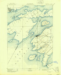
1944 · Cape Vincent
USGS Topo · 1:62,500
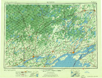
1954 · Kingston
USGS Topo · 1:250,000
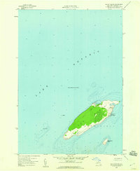
1958 · Galloo Island
USGS Topo · 1:24,000
1958 · Point Peninsula
USGS Topo · 1:24,000