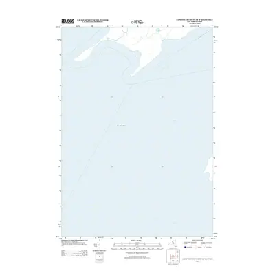
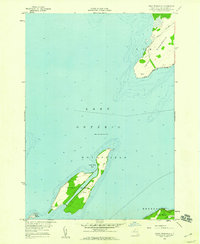
2013 Map of Cape Vincent South OE W
USGS Topo · Published 2013About this map
Saint Lawrence River and Lake Ontario dominate this maritime landscape where the Great Lakes system meets the iconic river corridor. The map focuses on the hydrologic transition and the open waters where international shipping routes converge. Below the surface, the Allan Otty Shoal represents a significant underwater feature in this eastern reach of the lake. The absence of land-based settlements or infrastructure on this specific sheet highlights the importance of the maritime environment and the expansive water boundaries that define the region's geography and historical navigation routes.
Find a feature on this map
3 named features on this map. Tap any name to fly to it.
Don’t see what you’re looking for? This feature index may not catch every label — zoom into the map to look around manually.
Map Details
Editions of this 2013 Cape Vincent South OE W Map
This is the sole edition of this map. No revisions or reprints were ever made.
Other maps of this area

1895 · Stony Island
USGS Topo · 1:62,500

1895 · Cape Vincent
USGS Topo · 1:62,500

1942 · Cape Vincent North
USGS Topo · 1:31,680

1942 · Galloo Island
USGS Topo · 1:31,680

1942 · Cape Vincent South
USGS Topo · 1:31,680

1942 · Point Peninsula
USGS Topo · 1:31,680
1944 · Cape Vincent
USGS Topo · 1:62,500
1954 · Kingston
USGS Topo · 1:250,000
1958 · Galloo Island
USGS Topo · 1:24,000
1958 · Point Peninsula
USGS Topo · 1:24,000