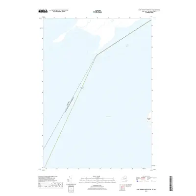
2019 Map of Cape Vincent South OE W
USGS Topo · Published 2019About this map
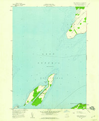
The international boundary between Canada and the United States of America cuts diagonally across the open waters where the Saint Lawrence River begins its course from Lake Ontario. This maritime environment is defined by submerged hazards and isolated landmasses along the Jefferson County border. The eastern edge of the map identifies the western shoreline of Grenadier Island, a significant feature within the river's mouth. Navigational landmarks are sparse in these deep waters, though the presence of the Allan Otty Shoal indicates the rugged underwater topography that ship captains must navigate as they transition from the lake into the river's main channel. The map serves as a clear record of the modern hydrography and political boundaries of this critical waterway junction.
Find a feature on this map
5 named features on this map. Tap any name to fly to it.
Don’t see what you’re looking for? This feature index may not catch every label — zoom into the map to look around manually.
Map Details
Editions of this 2019 Cape Vincent South OE W Map
This is the sole edition of this map. No revisions or reprints were ever made.
Other maps of this area

1895 · Stony Island
USGS Topo · 1:62,500

1895 · Cape Vincent
USGS Topo · 1:62,500

1942 · Cape Vincent North
USGS Topo · 1:31,680

1942 · Galloo Island
USGS Topo · 1:31,680

1942 · Cape Vincent South
USGS Topo · 1:31,680

1942 · Point Peninsula
USGS Topo · 1:31,680
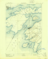
1944 · Cape Vincent
USGS Topo · 1:62,500
1954 · Kingston
USGS Topo · 1:250,000
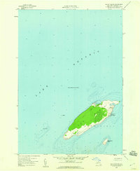
1958 · Galloo Island
USGS Topo · 1:24,000
1958 · Point Peninsula
USGS Topo · 1:24,000