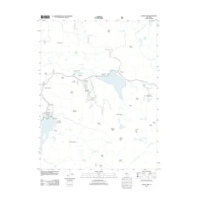
2012 Map of Caples Lake
USGS Topo · Published 2012About this map
Kirkwood and the surrounding high Sierra landscape are detailed in this 2012 survey, which highlights the area's development as a center for recreation and mountain residence. The map documents the layout of the Kirkwood Ski Area alongside established settlements like Kirkwood Meadows and the historic Kit Carson area. A notable concentration of seasonal camps and resorts, including Camp Silverado, Camp Eldorado, and Camp Minkalo, cluster near the shores of Silver Lake, illustrating the region's enduring role as a destination for outdoor organizations and travelers along the Carson Pass corridor.
Find a feature on this map
70 named features on this map. Tap any name to fly to it.
Don’t see what you’re looking for? This feature index may not catch every label — zoom into the map to look around manually.
Map Details
Editions of this 2012 Caples Lake Map
This is the sole edition of this map. No revisions or reprints were ever made.
Other maps of this area

1889 · Pyramid Peak
USGS Topo · 1:125,000

1889 · Markleeville
USGS Topo · 1:125,000

1891 · Markleeville
USGS Topo · 1:125,000

1891 · Pyramid Peak
USGS Topo · 1:125,000

1893 · Markleeville
USGS Topo · 1:125,000

1895 · Pyramid Peak
USGS Topo · 1:125,000

1896 · Pyramid Peak
USGS Topo · 1:125,000

1947 · Sacramento
USGS Topo · 1:250,000

1948 · Walker Lake
USGS Topo · 1:250,000

1948 · Sacramento
USGS Topo · 1:250,000