
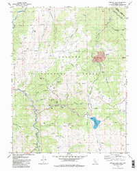
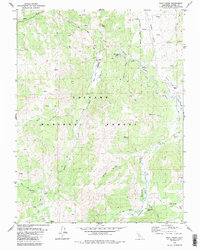
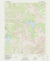
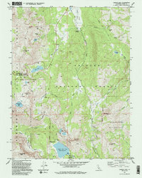
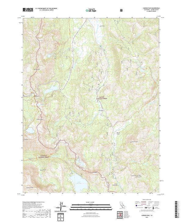
2022 Map of Caples Lake
USGS Topo · Published 2022About this map
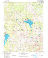
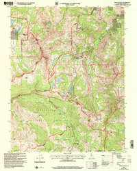
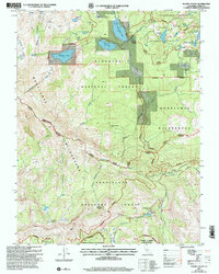
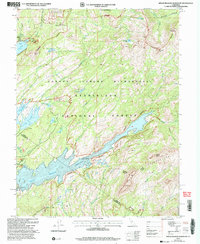
Kirkwood and the high-altitude development of Kirkwood Meadows serve as the central landmarks in this high Sierra Nevada study. The landscape is dominated by the sprawling waters of Caples Lake and Silver Lake, with the surrounding terrain marked by significant peaks including Thunder Mtn and Melissa Coray Peak. The map reveals a complex network of recreational and historical paths, most notably the Pacific Crest National Scenic Trl and the Carson Emigrant N.R.T. Trl, which follow routes established by early transcontinental travelers.
Find a feature on this map
88 named features on this map. Tap any name to fly to it.
Don’t see what you’re looking for? This feature index may not catch every label — zoom into the map to look around manually.
Map Details
Editions of this 2022 Caples Lake Map
This is the sole edition of this map. No revisions or reprints were ever made.
Historical Maps of Kirkwood Through Time
30 maps found
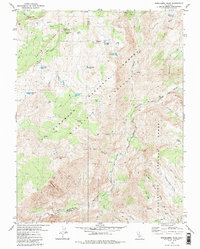
1956 Freel Peak
Alpine County, CA
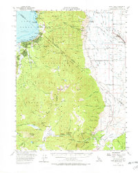
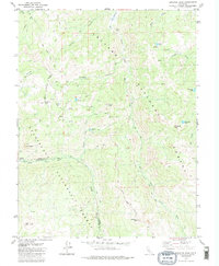
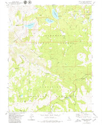
1979 Caples Lake
Alpine County, CA
1979 Carson Pass
Alpine County, CA
1979 Dardanelles Cone
Alpine County, CA
1979 Disaster Peak
Alpine County, CA
1979 Ebbetts Pass
Alpine County, CA
1979 Heenan Lake
Alpine County, CA
1979 Mokelumne Peak
Alpine County, CA
1979 Pacific Valley
Alpine County, CA
1979 Spicer Meadow Res
Alpine County, CA
1979 Wolf Creek
Alpine County, CA
1979 Woodfords
Alpine County, CA
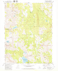
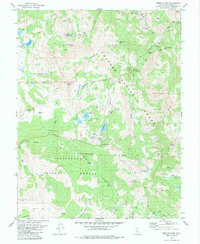
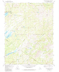
1992 Caples Lake
Alpine County, CA
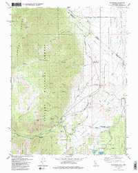
1992 Carson Pass
Alpine County, CA
2001 Dardanelles Cone
Alpine County, CA
2001 Disaster Peak
Alpine County, CA
2001 Ebbetts Pass
Alpine County, CA
2001 Pacific Valley
Alpine County, CA
2001 Spicer Meadow Reservoir
Alpine County, CA
2021 Carson Pass
Alpine County, CA
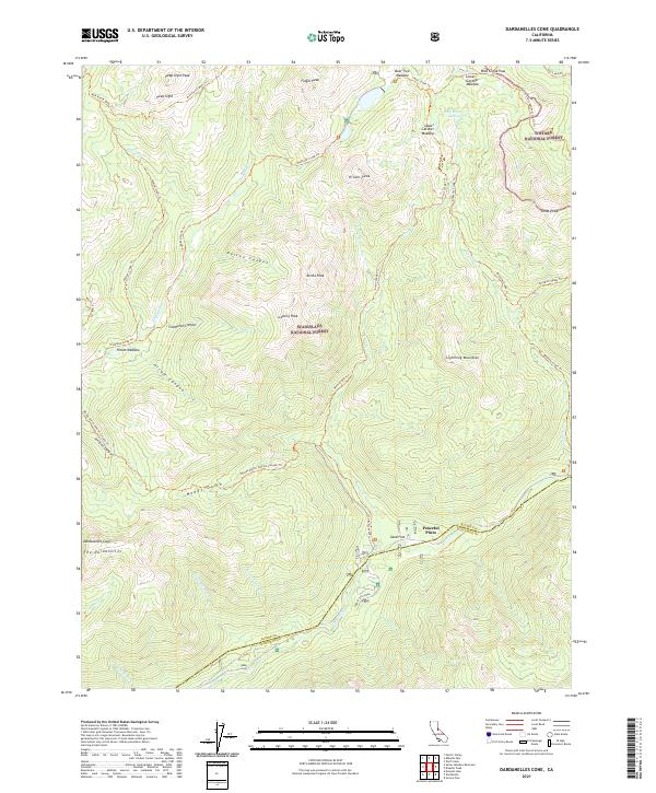
2021 Dardanelles Cone
Alpine County, CA
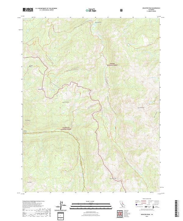
2021 Disaster Peak
Alpine County, CA
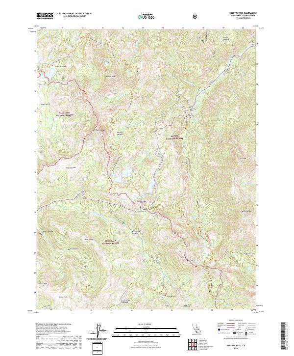
2021 Ebbetts Pass
Alpine County, CA
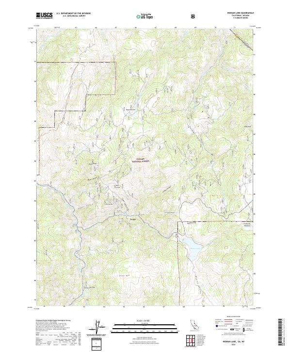
2021 Heenan Lake
Alpine County, CA
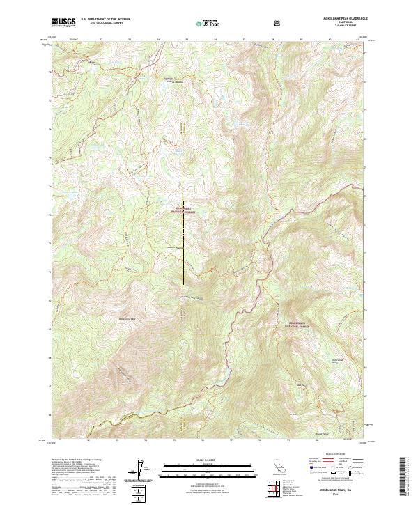
2021 Mokelumne Peak
Alpine County, CA
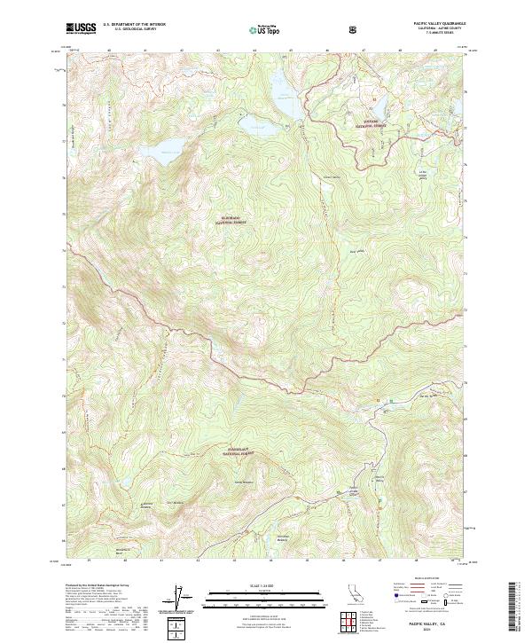
2021 Pacific Valley
Alpine County, CA
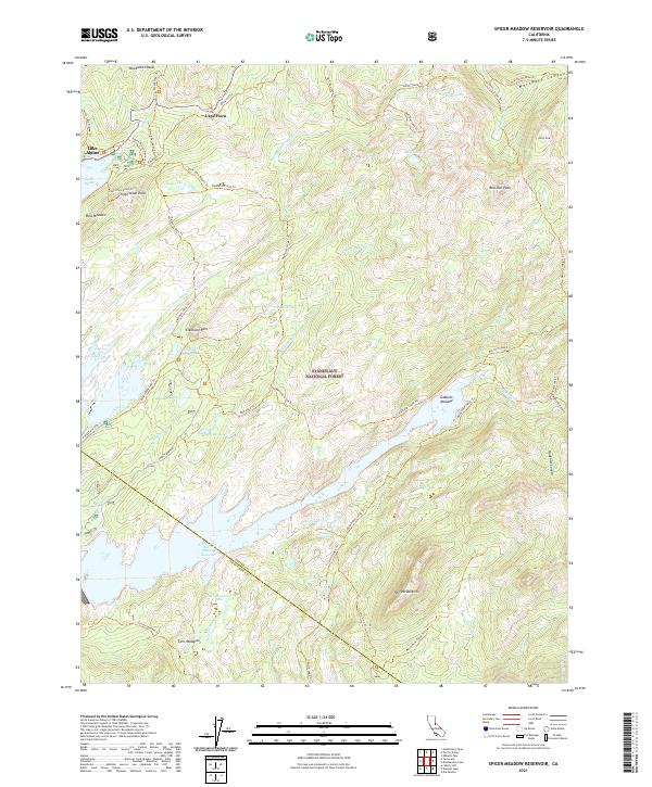
2021 Spicer Meadow Reservoir
Alpine County, CA
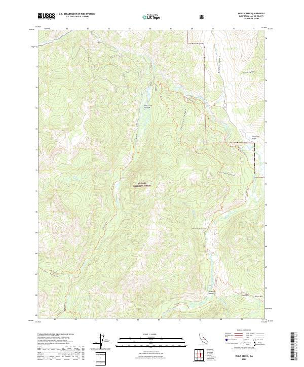
2021 Wolf Creek
Alpine County, CA
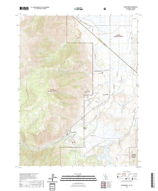
2021 Woodfords
Alpine County, CA
2022 Caples Lake
Alpine County, CA