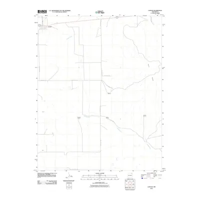
2010 Map of Capulin
USGS Topo · Published 2010About this map
Capulin stands at the northwestern corner of this Union County landscape, where the high plains meet the base of Sierra Grande. This 2010 survey illustrates a sparsely populated ranching and agricultural region defined more by its water sources and drainage patterns than by dense settlement. Pinabete Creek and Gallegos Creek course through the terrain, providing essential lifelines for the scattered operations marked by family-named infrastructure.
Find a feature on this map
18 named features on this map. Tap any name to fly to it.
Don’t see what you’re looking for? This feature index may not catch every label — zoom into the map to look around manually.
Map Details
Editions of this 2010 Capulin Map
This is the sole edition of this map. No revisions or reprints were ever made.
Other maps of this area

1954 · Raton
USGS Topo · 1:250,000

1954 · Dalhart
USGS Topo · 1:250,000

1958 · Raton
USGS Topo · 1:250,000

1958 · Dalhart
USGS Topo · 1:250,000

1962 · Dalhart
USGS Topo · 1:250,000

1971 · Kiowa
USGS Topo · 1:24,000

1971 · Robinson Peak
USGS Topo · 1:24,000

1971 · Palo Blanco Mountain
USGS Topo · 1:24,000

1972 · Little Grande
USGS Topo · 1:24,000
1972 · Des Moines
USGS Topo · 1:24,000