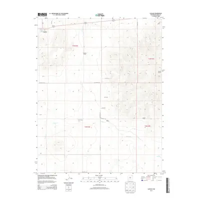
2013 Map of Capulin
USGS Topo · Published 2013About this map
Sierra Grande dominates the eastern horizon of this high plains landscape in Union County, rising sharply above the surrounding ranchlands. The settlement of Capulin sits at the northwestern edge of the sheet along US Highway 64 87, where residential streets like 2nd St and 3rd St meet the corridor through the volcanic field. This 2013 survey illustrates the enduring importance of water management in this arid region, marked by the presence of numerous family or place-named landmarks including the Garcia Windmill, Cox Windmill, and La Cueva Windmill. The drainage patterns of Pinabete Cr through Pinabete Canyon and the winding course of Gallegos Cr define the movement of the terrain. Local history is reflected in several named locales such as Leierer and Bural, which serve as quiet markers of rural habitation across the extensive New Mexico range.
Find a feature on this map
26 named features on this map. Tap any name to fly to it.
Don’t see what you’re looking for? This feature index may not catch every label — zoom into the map to look around manually.
Map Details
Editions of this 2013 Capulin Map
This is the sole edition of this map. No revisions or reprints were ever made.
Other maps of this area
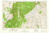
1954 · Raton
USGS Topo · 1:250,000
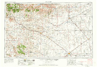
1954 · Dalhart
USGS Topo · 1:250,000
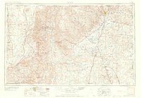
1958 · Raton
USGS Topo · 1:250,000
1958 · Dalhart
USGS Topo · 1:250,000
1962 · Dalhart
USGS Topo · 1:250,000
1971 · Kiowa
USGS Topo · 1:24,000
1971 · Robinson Peak
USGS Topo · 1:24,000
1971 · Palo Blanco Mountain
USGS Topo · 1:24,000
1972 · Little Grande
USGS Topo · 1:24,000
1972 · Des Moines
USGS Topo · 1:24,000