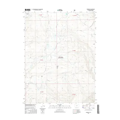
2016 Map of Carbonate
USGS Topo · Published 2016About this map
The high White River Plateau dominates this portion of the White River National Forest, where the historic site of Carbonate sits at an elevation over 10,000 feet. This landscape is defined by its dramatic topographic relief, featuring prominent summits like Baxter Peak and the steep Keyser Rim. The area's complex hydrology is evident in the cluster of alpine water bodies, including White Owl Lake, Grizzly Lake, and Monument Lake, which feed into drainage systems like Grizzly Cr and Keyser Creek.
Find a feature on this map
50 named features on this map. Tap any name to fly to it.
Don’t see what you’re looking for? This feature index may not catch every label — zoom into the map to look around manually.
Map Details
Editions of this 2016 Carbonate Map
This is the sole edition of this map. No revisions or reprints were ever made.
Other maps of this area

1927 · Glenwood Springs
USGS Topo · 1:125,000

1930 · Glenwood Springs
USGS Topo · 1:125,000

1957 · Leadville
USGS Topo · 1:250,000

1959 · Leadville
USGS Topo · 1:250,000

1960 · Leadville
USGS Topo · 1:250,000

1961 · Shoshone
USGS Topo · 1:24,000

1961 · Glenwood Springs
USGS Topo · 1:24,000

1962 · Leadville
USGS Topo · 1:250,000

1962 · Storm King Mountain
USGS Topo · 1:24,000

1964 · Leadville
USGS Topo · 1:250,000