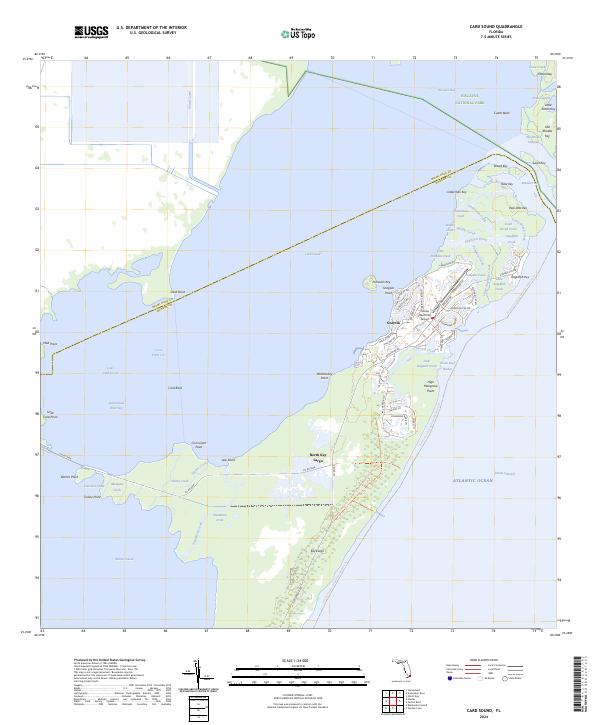
2024 Map of Card Sound
USGS Topo · Published 2024About this map
The northern tip of the Upper Keys is defined by the intricate waterways and protected preserves shown in this survey of the Florida coast. Grayvik serves as a primary settlement point near the exclusive Ocean Reef Club Airport, marking a landscape where high-end development meets expansive conservation land. Extensive portions of the territory are managed as the Crocodile Lake National Wildlife Refuge, preserving the critical shoreline habitat of North Key Largo.
Find a feature on this map
85 named features on this map. Tap any name to fly to it.
Don’t see what you’re looking for? This feature index may not catch every label — zoom into the map to look around manually.
Map Details
Editions of this 2024 Card Sound Map
This is the sole edition of this map. No revisions or reprints were ever made.
Other maps of this area

1947 · Garden Cove
USGS Topo · 1:24,000

1947 · Blackwater Sound
USGS Topo · 1:24,000

1949 · Blackwater Sound
USGS Topo · 1:24,000

1949 · Garden Cove
USGS Topo · 1:24,000

1949 · Elliott Key
USGS Topo · 1:24,000

1949 · Card Sound
USGS Topo · 1:24,000

1949 · Pacific Reef
USGS Topo · 1:24,000

1949 · Arsenicker Keys
USGS Topo · 1:24,000

1950 · Homestead
USGS Topo · 1:24,000

1950 · Glades
USGS Topo · 1:24,000