
1949 Map of Pacific Reef
USGS Topo · Published 1949About this map
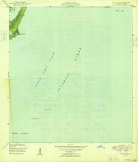
Old Rhodes Key and Totten Key stand at the edge of the shallow Florida reef tract in the late 1940s, marking the transition from the protected waters of Turtle Harbor to the open Atlantic Ocean. This maritime survey, based on aerial photography from 1946 and ground topography from 1947, documents a landscape of shifting shoals and critical navigational aids. The Pacific Reef Lighthouse and several beacons, including Pacific Reef Beacon No 2 and Ten-Foot Shoals Beacon No 3, serve as essential markers for vessels navigating the treacherous waters near Old Rhodes Point. The map provides a clear view of the complex seafloor topography, showing deep-water passages like the Turtle Harbor Channel and the narrow Old Rhodes Channel that weave through the mangroves and reefs.
Find a feature on this map
13 named features on this map. Tap any name to fly to it.
Don’t see what you’re looking for? This feature index may not catch every label — zoom into the map to look around manually.
Map Details
Editions of this 1949 Pacific Reef Map
2 editions found
Other maps of this area

1947 · Garden Cove
USGS Topo · 1:24,000

1949 · Garden Cove
USGS Topo · 1:24,000

1949 · Elliott Key
USGS Topo · 1:24,000

1949 · Card Sound
USGS Topo · 1:24,000

1949 · Arsenicker Keys
USGS Topo · 1:24,000

1956 · Card Sound
USGS Topo · 1:24,000
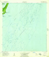
1956 · Pacific Reef
USGS Topo · 1:24,000
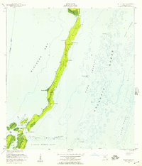
1956 · Elliott Key
USGS Topo · 1:24,000
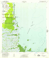
1956 · Arsenicker Keys
USGS Topo · 1:24,000

1956 · Miami
USGS Topo · 1:250,000