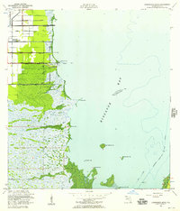
1956 Map of Arsenicker Keys
USGS Topo · Published 1957About this map
Homestead Air Force Base dominates the northwestern corner of this coastal survey, where military infrastructure meets the low-lying wetlands of eastern Dade County. The map documents a highly engineered landscape defined by drainage and access, as seen in the parallel channels of the Military Canal, Mowry Canal, and Florida City Canal that cut through the muck towards Biscayne Bay. These waterways are flanked by agricultural corridors along Avocado Drive and Kings Highway, marking the edge of the region's productive farm country before it dissolves into the mangrove swamps of Turkey Point and Turtle Point.
Find a feature on this map
35 named features on this map. Tap any name to fly to it.
Don’t see what you’re looking for? This feature index may not catch every label — zoom into the map to look around manually.
Map Details
Editions of this 1956 Arsenicker Keys Map
4 editions found
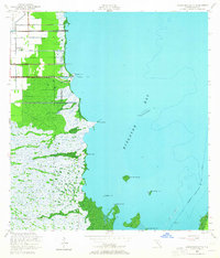
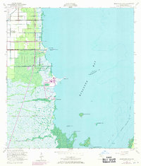
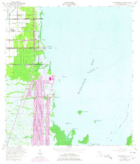
Other maps of this area

1948 · Soldier Key
USGS Topo · 1:24,000

1949 · Elliott Key
USGS Topo · 1:24,000

1949 · Card Sound
USGS Topo · 1:24,000

1949 · Pacific Reef
USGS Topo · 1:24,000

1949 · Arsenicker Keys
USGS Topo · 1:24,000

1949 · Goulds
USGS Topo · 1:24,000

1949 · Perrine
USGS Topo · 1:24,000

1950 · Homestead
USGS Topo · 1:24,000

1950 · Glades
USGS Topo · 1:24,000

1956 · Goulds
USGS Topo · 1:24,000