
1956 Map of Goulds
USGS Topo · Published 1957About this map
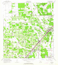
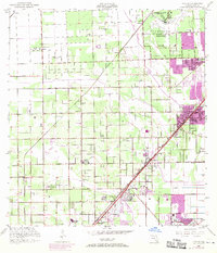
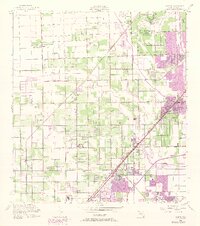
Agricultural groves and military installations define this mid-1950s landscape in southern Florida. The presence of the U S Naval Air Station (Inactive) and the northern edge of Homestead Air Force Base illustrate the era's significant defense footprint, while the sprawling University of Miami (South Campus) occupies former military grounds near Richmond. The region is crisscrossed by an orderly grid of agricultural roads, including Krome Ave and Eureka Drive, serving long-standing settlements like Silver Palm, Princeton, and Aladdin City. The rail-centered economy of the day is evident in the parallel routes of the Florida East Coast and Seaboard Air Line railroads, which facilitated the transport of citrus and winter vegetables from local packing centers in Goulds and Naranja. Family and community sites such as Redland Ch and Silver Green Cem remain tucked between the extensive fruit groves.
Find a feature on this map
49 named features on this map. Tap any name to fly to it.
Don’t see what you’re looking for? This feature index may not catch every label — zoom into the map to look around manually.
Map Details
Editions of this 1956 Goulds Map
4 editions found
Other maps of this area

1949 · South Miami NW
USGS Topo · 1:24,000

1949 · Arsenicker Keys
USGS Topo · 1:24,000

1949 · Goulds
USGS Topo · 1:24,000

1949 · Perrine
USGS Topo · 1:24,000

1950 · Homestead
USGS Topo · 1:24,000

1950 · South Miami
USGS Topo · 1:24,000

1955 · South Miami NW
USGS Topo · 1:24,000

1956 · Perrine
USGS Topo · 1:24,000

1956 · South Miami
USGS Topo · 1:24,000

1956 · Grossman Hammock
USGS Topo · 1:24,000
Featured Places
- Princeton, FL
- Goulds, FL
- Naranja, FL
- Leisure Mobile Home Park-Modello Park, FL
- Pine Isle Mobile Home Park, FL