
1955 Map of South Miami NW
USGS Topo · Published 1957About this map
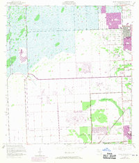
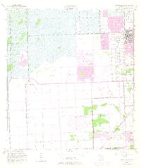
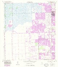
Westwood Lake and the developing outskirts of Richmond Heights anchor this mid-1950s survey of the Florida Everglades' eastern fringe. The landscape is defined by the transition from open wetlands to organized drainage and early suburban expansion, evidenced by the rectilinear grid of Bird Drive, Miller Drive, and Sunset Drive. This era of South Florida history is captured through key institutional landmarks, including the University of Miami (South Campus) and the US Naval Air Station (Inactive) near Coral Reef Drive. Infrastructure projects are prominent, with the Seaboard Air Line railroad and numerous pumphouses facilitating the region's rapid mid-century growth. Aviation history is also represented by the presence of the Tamiami Airport in the northern section, while local community life is marked by the Haven Sch and Paradise Memorial Cem.
Find a feature on this map
29 named features on this map. Tap any name to fly to it.
Don’t see what you’re looking for? This feature index may not catch every label — zoom into the map to look around manually.
Map Details
Editions of this 1955 South Miami NW Map
4 editions found
Other maps of this area

1949 · South Miami NW
USGS Topo · 1:24,000

1949 · Goulds
USGS Topo · 1:24,000

1949 · Perrine
USGS Topo · 1:24,000

1950 · Hialeah
USGS Topo · 1:24,000

1950 · South Miami
USGS Topo · 1:24,000

1956 · Goulds
USGS Topo · 1:24,000

1956 · Perrine
USGS Topo · 1:24,000

1956 · South Miami
USGS Topo · 1:24,000

1956 · Grossman Hammock
USGS Topo · 1:24,000

1956 · Miami
USGS Topo · 1:250,000