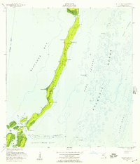
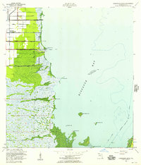
1956 Map of Elliott Key
USGS Topo · Published 1957About this map
Elliott Key and its surrounding archipelago dominate this mid-century maritime study, capturing the uninhabited character of the northern Florida Keys before significant modern development. The map delineates a complex network of shallow passages and coral formations between Biscayne Bay and the Atlantic Ocean, including the treacherous Ajax Reef and the Legare Anchorage. Notable landmarks like Sands Cut at the northern tip and Caesar Rock to the south mark the limits of the main key, while smaller islands such as Adams Key and Meigs Key appear as isolated outposts in the tidal flats.
Find a feature on this map
32 named features on this map. Tap any name to fly to it.
Don’t see what you’re looking for? This feature index may not catch every label — zoom into the map to look around manually.
Map Details
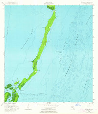
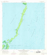
Editions of this 1956 Elliott Key Map
3 editions found
Other maps of this area

1948 · Soldier Key
USGS Topo · 1:24,000

1949 · Elliott Key
USGS Topo · 1:24,000

1949 · Card Sound
USGS Topo · 1:24,000

1949 · Pacific Reef
USGS Topo · 1:24,000

1949 · Arsenicker Keys
USGS Topo · 1:24,000

1949 · Perrine
USGS Topo · 1:24,000

1956 · Card Sound
USGS Topo · 1:24,000
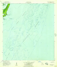
1956 · Pacific Reef
USGS Topo · 1:24,000

1956 · Perrine
USGS Topo · 1:24,000
1956 · Arsenicker Keys
USGS Topo · 1:24,000