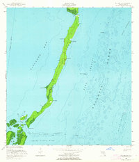
1956 Map of Elliott Key
USGS Topo · Published 1964About this map
Elliott Key dominates this mid-century hydrographic study, appearing as a long, narrow barrier between the shallow waters of Biscayne Bay and the deeper Hawk Channel of the Atlantic Ocean. Compiled from aerial photography and planetable surveys conducted in the late 1940s and mid-1950s, the map provides a detailed record of the upper Florida Keys before modern development. To the south, a complex network of smaller islands and tidal passes emerges, including Old Rhodes Key, Adams Key, and Porgy Key, separated by the swift currents of Caesar Creek and Hurricane Creek. Offshore, the maritime environment is defined by hazards and navigational aids, from the Ajax Reef and Bache Shoal to various charted piles and daybeacons. This survey documents the natural shoreline and seafloor topography of the keys during a period when the area remained largely inaccessible except by boat.
Find a feature on this map
33 named features on this map. Tap any name to fly to it.
Don’t see what you’re looking for? This feature index may not catch every label — zoom into the map to look around manually.
Map Details
Editions of this 1956 Elliott Key Map
3 editions found
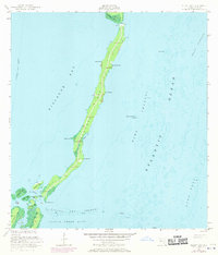
Other maps of this area

1948 · Soldier Key
USGS Topo · 1:24,000

1949 · Elliott Key
USGS Topo · 1:24,000

1949 · Card Sound
USGS Topo · 1:24,000

1949 · Pacific Reef
USGS Topo · 1:24,000

1949 · Arsenicker Keys
USGS Topo · 1:24,000

1949 · Perrine
USGS Topo · 1:24,000

1956 · Card Sound
USGS Topo · 1:24,000
1956 · Pacific Reef
USGS Topo · 1:24,000
1956 · Elliott Key
USGS Topo · 1:24,000

1956 · Perrine
USGS Topo · 1:24,000