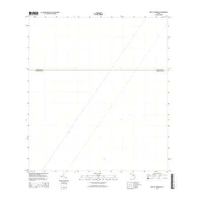
2015 Map of West of Pennsuco
USGS Topo · Published 2015About this map
The county line between Broward Co and Miami-Dade Co divides this portion of the Florida Everglades, representing a landscape defined more by administrative boundaries than by physical landmarks or development. This 2015 survey reveals a terrain largely devoid of traditional structures, settlements, or named roads, highlighting the preservation of vast wetlands west of the urbanized Atlantic coast. The absence of traditional topographic contours in this data suggests a remarkably flat and uniform wetland environment, where the primary human-defined features are the invisible geopolitical borders that separate the two most populous counties in the state.
Find a feature on this map
1 named feature on this map. Tap any name to fly to it.
Don’t see what you’re looking for? This feature index may not catch every label — zoom into the map to look around manually.
Map Details
Editions of this 2015 West of Pennsuco Map
This is the sole edition of this map. No revisions or reprints were ever made.
Other maps of this area

1956 · Miami
USGS Topo · 1:250,000

1956 · West Palm Beach
USGS Topo · 1:250,000

1957 · West Palm Beach
USGS Topo · 1:250,000

1958 · West Palm Beach
USGS Topo · 1:250,000

1958 · Miami
USGS Topo · 1:250,000

1963 · Pennsuco
USGS Topo · 1:24,000

1963 · Cooper City SW
USGS Topo · 1:24,000

1973 · Custard Apple Hammock
USGS Topo · 1:24,000

1973 · West Of Pennsuco
USGS Topo · 1:24,000

1973 · Everglades 4 SE
USGS Topo · 1:24,000