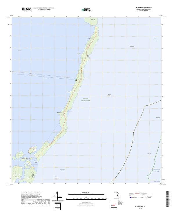
2024 Map of Elliott Key
USGS Topo · Published 2024About this map
Biscayne National Park encompasses this fragile chain of limestone keys and coral reefs, preserving a corridor of subtropical wilderness between Biscayne Bay and the Atlantic Ocean. The long, narrow spine of Elliott Key dominates the landscape, featuring the Elliott Key Hiking Trl which runs the length of the island through dense maritime forest. To the south, the map details the intricate waterways around Islandia, where tidal channels like Caesar Creek and Hurricane Creek separate a cluster of smaller islands including Adams Key, Porgy Key, and Old Rhodes Key. The presence of Caesar Rock and multiple reefs, such as Ajax Reef and Long Reef, highlights the treacherous maritime geography that historically defined navigation in the Hawk Channel. This modern survey documents the current shoreline and protected status of these northernmost Florida Keys, emphasizing their role as a transition between the protected bay and the open sea.
Find a feature on this map
44 named features on this map. Tap any name to fly to it.
Don’t see what you’re looking for? This feature index may not catch every label — zoom into the map to look around manually.
Map Details
Editions of this 2024 Elliott Key Map
This is the sole edition of this map. No revisions or reprints were ever made.
Other maps of this area

1948 · Soldier Key
USGS Topo · 1:24,000

1949 · Elliott Key
USGS Topo · 1:24,000

1949 · Card Sound
USGS Topo · 1:24,000

1949 · Pacific Reef
USGS Topo · 1:24,000

1949 · Arsenicker Keys
USGS Topo · 1:24,000

1949 · Perrine
USGS Topo · 1:24,000

1956 · Card Sound
USGS Topo · 1:24,000
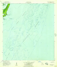
1956 · Pacific Reef
USGS Topo · 1:24,000
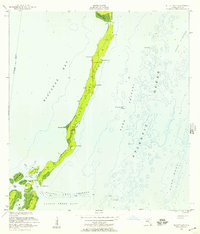
1956 · Elliott Key
USGS Topo · 1:24,000

1956 · Perrine
USGS Topo · 1:24,000