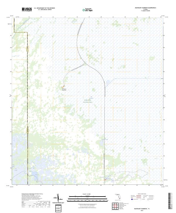
2024 Map of Mahogany Hammock
USGS Topo · Published 2024About this map
Mahogany Hammock serves as a prominent landmark in this watery expanse of the Everglades National Park, located along the southern edge of the Marjory Stoneman Douglas Wilderness. The landscape is dominated by a complex network of wetlands and tidal channels, where the North River flows through the western portion of the quadrangle. Human infrastructure is limited to a few specific corridors, primarily the Flamingo Route 107 and the Mahogany Hammock Road, which provide access to this protected interior.
Find a feature on this map
16 named features on this map. Tap any name to fly to it.
Don’t see what you’re looking for? This feature index may not catch every label — zoom into the map to look around manually.
Map Details
Editions of this 2024 Mahogany Hammock Map
This is the sole edition of this map. No revisions or reprints were ever made.
Other maps of this area

1956 · Miami
USGS Topo · 1:250,000

1958 · Miami
USGS Topo · 1:250,000

1972 · Whitewater Bay East
USGS Topo · 1:24,000

1972 · Mahogany Hammock
USGS Topo · 1:24,000

1972 · Taylor Slough
USGS Topo · 1:24,000

1972 · Madeira Bay
USGS Topo · 1:24,000

1972 · West Lake
USGS Topo · 1:24,000

1972 · Long Pine Key
USGS Topo · 1:24,000

1972 · Tarpon Bay
USGS Topo · 1:24,000

1972 · Pa Hay Okee Lookout Tower
USGS Topo · 1:24,000