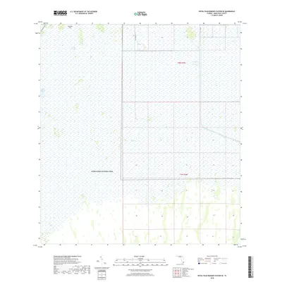
2018 Map of Royal Palm Ranger Station SE
USGS Topo · Published 2018About this map
Everglades National Park dominates this subtropical landscape in Miami-Dade County, revealing the critical intersection of natural water flow and 20th-century water management infrastructure. The slow, shallow movement of Taylor Slough is traced across the terrain, passing near Paradise Key as it drains through the heart of The Everglades.
Find a feature on this map
10 named features on this map. Tap any name to fly to it.
Don’t see what you’re looking for? This feature index may not catch every label — zoom into the map to look around manually.
Map Details
Editions of this 2018 Royal Palm Ranger Station SE Map
This is the sole edition of this map. No revisions or reprints were ever made.
Other maps of this area

1947 · Blackwater Sound
USGS Topo · 1:24,000

1949 · Blackwater Sound
USGS Topo · 1:24,000

1950 · Homestead
USGS Topo · 1:24,000

1950 · Glades
USGS Topo · 1:24,000

1956 · Homestead
USGS Topo · 1:24,000

1956 · Royal Palm Ranger Station
USGS Topo · 1:24,000

1956 · Glades
USGS Topo · 1:24,000

1956 · Royal Palm Ranger Station SE
USGS Topo · 1:24,000

1956 · Miami
USGS Topo · 1:250,000

1958 · Miami
USGS Topo · 1:250,000