
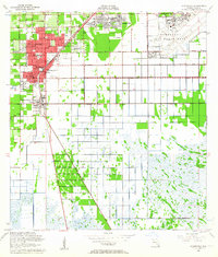
1956 Map of Homestead
USGS Topo · Published 1957About this map
Homestead Air Force Base dominates the eastern landscape of this mid-century survey, reflecting the strategic military expansion in South Florida during the Cold War. The surrounding citrus groves and agricultural plots are bisected by a dense transportation corridor where the Florida East Coast Railway, the Seaboard Air Line Railroad, and Old Dixie Highway run in parallel through the heart of Homestead and Florida City.
Find a feature on this map
28 named features on this map. Tap any name to fly to it.
Don’t see what you’re looking for? This feature index may not catch every label — zoom into the map to look around manually.
Map Details
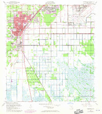
Editions of this 1956 Homestead Map
3 editions found
Other maps of this area

1949 · Card Sound
USGS Topo · 1:24,000

1949 · Arsenicker Keys
USGS Topo · 1:24,000

1949 · Goulds
USGS Topo · 1:24,000

1949 · Perrine
USGS Topo · 1:24,000

1950 · Homestead
USGS Topo · 1:24,000

1950 · Glades
USGS Topo · 1:24,000

1956 · Goulds
USGS Topo · 1:24,000

1956 · Card Sound
USGS Topo · 1:24,000

1956 · Perrine
USGS Topo · 1:24,000

1956 · Grossman Hammock
USGS Topo · 1:24,000