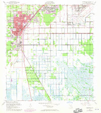
1956 Map of Homestead
USGS Topo · Published 1970About this map
Homestead Air Force Base dominates the eastern landscape of this South Florida region, established during a period of rapid suburban and military expansion. The map details the transition from the structured residential blocks of Homestead and Florida City to the expansive agricultural and marshy grounds to the south. The intersection of the Seaboard Coast Line Railroad and historic transit routes like Old Dixie Highway and Krome Avenue highlights the importance of this corridor for both local commerce and national defense.
Find a feature on this map
37 named features on this map. Tap any name to fly to it.
Don’t see what you’re looking for? This feature index may not catch every label — zoom into the map to look around manually.
Map Details
Editions of this 1956 Homestead Map
3 editions found

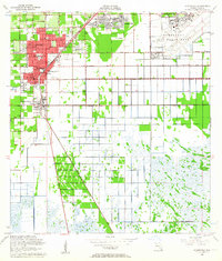
Other maps of this area

1949 · Card Sound
USGS Topo · 1:24,000

1949 · Arsenicker Keys
USGS Topo · 1:24,000

1949 · Goulds
USGS Topo · 1:24,000

1949 · Perrine
USGS Topo · 1:24,000

1950 · Homestead
USGS Topo · 1:24,000

1950 · Glades
USGS Topo · 1:24,000

1956 · Goulds
USGS Topo · 1:24,000

1956 · Card Sound
USGS Topo · 1:24,000

1956 · Perrine
USGS Topo · 1:24,000

1956 · Grossman Hammock
USGS Topo · 1:24,000