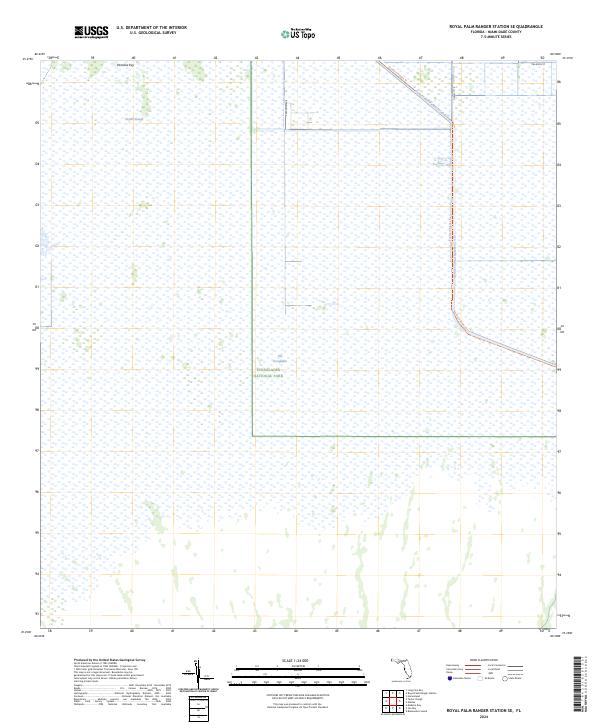
2024 Map of Royal Palm Ranger Station SE
USGS Topo · Published 2024About this map
The Everglades landscape dominates this section of Miami-Dade County, characterized by the expansive Everglades National Park and the preserved Marjory Stoneman Douglas Wilderness. The map illustrates the specialized water management infrastructure of southern Florida, specifically the Aerojet-Canal-Number-C-111 and Canal 111 E, which cut through the wetlands. These canals are central to the region's complex hydrological history and current environmental restoration efforts. Higher ground and distinct ecological zones are marked by Paradise Key, while the natural drainage of Taylor Slough remains a vital feature for understanding the historic flow of water toward the coast. The presence of the Southern Glades Trl suggests the area's transition toward recreational and conservation use within the larger marsh system.
Find a feature on this map
12 named features on this map. Tap any name to fly to it.
Don’t see what you’re looking for? This feature index may not catch every label — zoom into the map to look around manually.
Map Details
Editions of this 2024 Royal Palm Ranger Station SE Map
This is the sole edition of this map. No revisions or reprints were ever made.
Other maps of this area

1947 · Blackwater Sound
USGS Topo · 1:24,000

1949 · Blackwater Sound
USGS Topo · 1:24,000

1950 · Homestead
USGS Topo · 1:24,000

1950 · Glades
USGS Topo · 1:24,000

1956 · Homestead
USGS Topo · 1:24,000

1956 · Royal Palm Ranger Station
USGS Topo · 1:24,000

1956 · Glades
USGS Topo · 1:24,000

1956 · Royal Palm Ranger Station SE
USGS Topo · 1:24,000

1956 · Miami
USGS Topo · 1:250,000

1958 · Miami
USGS Topo · 1:250,000