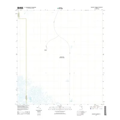
2015 Map of Mahogany Hammock
USGS Topo · Published 2015About this map
Everglades National Park dominates this landscape, showing a complex network of subtropical wetlands and coastal prairies where Miami-Dade County meets Monroe County. The area is characterized by isolated tree islands or hammocks, most notably the eponymous Mahogany Hammock, which is accessible via Mahogany Rd off the main corridor of SR-9336. This portion of the park serves as a transition between the freshwater glades and the brackish waters near the coast, illustrated by the presence of Pearl Bay and the channel known as The Cutoff. Interior water bodies like Pouratis Pond and Ninemile Pond provide critical insight into the hydrology of the region as it existed in 2015. To the north, the winding course of N River flows through the dense vegetation, defining the primitive and preserved nature of this protected wilderness.
Find a feature on this map
10 named features on this map. Tap any name to fly to it.
Don’t see what you’re looking for? This feature index may not catch every label — zoom into the map to look around manually.
Map Details
Editions of this 2015 Mahogany Hammock Map
This is the sole edition of this map. No revisions or reprints were ever made.
Other maps of this area

1956 · Miami
USGS Topo · 1:250,000

1958 · Miami
USGS Topo · 1:250,000

1972 · Whitewater Bay East
USGS Topo · 1:24,000

1972 · Mahogany Hammock
USGS Topo · 1:24,000

1972 · Taylor Slough
USGS Topo · 1:24,000

1972 · Madeira Bay
USGS Topo · 1:24,000

1972 · West Lake
USGS Topo · 1:24,000

1972 · Long Pine Key
USGS Topo · 1:24,000

1972 · Tarpon Bay
USGS Topo · 1:24,000

1972 · Pa Hay Okee Lookout Tower
USGS Topo · 1:24,000