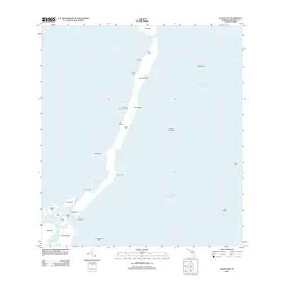
2012 Map of Elliott Key
USGS Topo · Published 2012About this map
Elliott Key and the surrounding islands separate Biscayne Bay from the Atlantic Ocean in this coastal survey. The barrier island chain is detailed through numerous landing points and topographical markers, including University Dock and Elliott Key Park Harbor Light 2. To the south, a cluster of smaller islands like Adams Key, Porgy Key, and Totten Key are divided by narrow channels such as Hurricane Creek and Caesar Creek. The maritime character of the region is defined by extensive underwater features, from Bache Shoal and Margot Fish Shoal to the protective line of Long Reef and Ajax Reef. This map captures the intricate geography of the Florida Keys before significant modern alterations, highlighting named points like Sea Grape Point and Billys Point that have long served as landmarks for local navigation.
Find a feature on this map
36 named features on this map. Tap any name to fly to it.
Don’t see what you’re looking for? This feature index may not catch every label — zoom into the map to look around manually.
Map Details
Editions of this 2012 Elliott Key Map
This is the sole edition of this map. No revisions or reprints were ever made.
Other maps of this area
1948 · Soldier Key
USGS Topo · 1:24,000
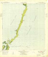
1949 · Elliott Key
USGS Topo · 1:24,000
1949 · Card Sound
USGS Topo · 1:24,000
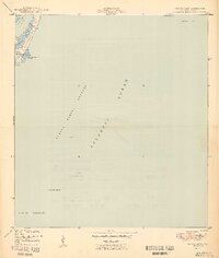
1949 · Pacific Reef
USGS Topo · 1:24,000
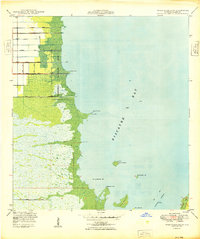
1949 · Arsenicker Keys
USGS Topo · 1:24,000
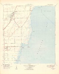
1949 · Perrine
USGS Topo · 1:24,000
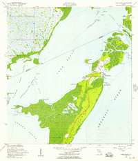
1956 · Card Sound
USGS Topo · 1:24,000
1956 · Pacific Reef
USGS Topo · 1:24,000
1956 · Elliott Key
USGS Topo · 1:24,000
1956 · Perrine
USGS Topo · 1:24,000