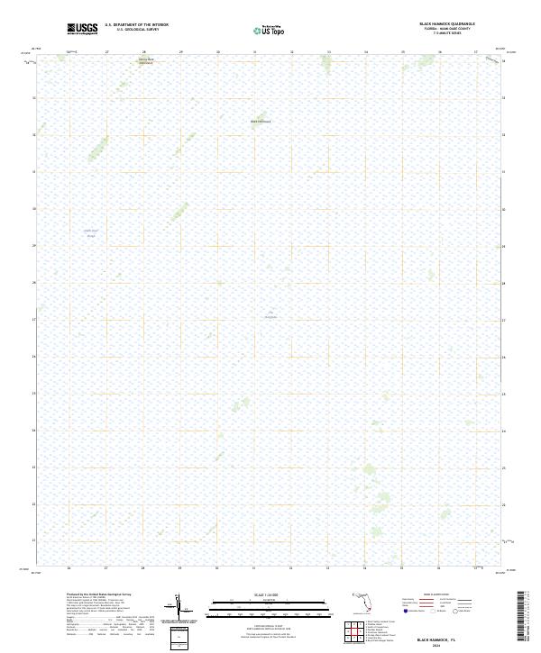
2024 Map of Black Hammock
USGS Topo · Published 2024About this map
The Everglades landscape dominates this 2024 survey, revealing a vast wetland environment characterized by subtle changes in elevation and vegetation. Significant natural landmarks such as Johnny Buck Hammock and Black Hammock emerge as elevated tree islands within the surrounding sawgrass marshes. The hydrology of the region is defined by the Shark River Slough, which serves as a primary conduit for water flow through this portion of the Marjory Stoneman Douglas Wilderness. The map also captures the gentle rise of Grossman Ridge in the northeastern corner, illustrating the intricate relationship between topography and the sheet flow of water across Miami-Dade County. This record is essential for understanding contemporary conservation efforts in one of the most protected environments in the United States.
Find a feature on this map
6 named features on this map. Tap any name to fly to it.
Don’t see what you’re looking for? This feature index may not catch every label — zoom into the map to look around manually.
Map Details
Editions of this 2024 Black Hammock Map
This is the sole edition of this map. No revisions or reprints were ever made.
Other maps of this area

1956 · Grossman Hammock
USGS Topo · 1:24,000

1956 · Royal Palm Ranger Station
USGS Topo · 1:24,000

1956 · Miami
USGS Topo · 1:250,000

1958 · Miami
USGS Topo · 1:250,000

1972 · Shark Valley Lookout Tower
USGS Topo · 1:24,000

1972 · Chekika Island
USGS Topo · 1:24,000

1972 · Long Pine Key
USGS Topo · 1:24,000

1972 · Panther Mound
USGS Topo · 1:24,000

1972 · Pa Hay Okee Lookout Tower
USGS Topo · 1:24,000

1972 · South Of Coopertown
USGS Topo · 1:24,000