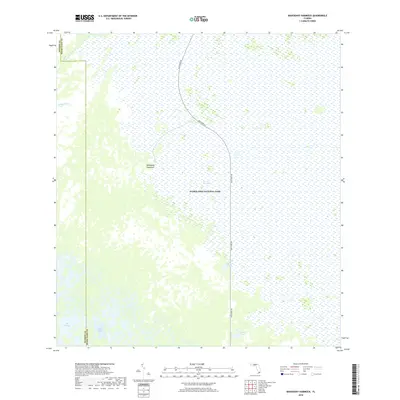
2018 Map of Mahogany Hammock
USGS Topo · Published 2018About this map
Everglades National Park covers the landscape of this 2018 survey, centered on the transition between freshwater marsh and mangrove-lined waterways. The sheet is bisected by the Main Park Rd, providing the primary access through the southern interior toward the coast. A prominent landmark is Mahogany Hammock, a raised island of dense tropical hardwood trees that stands out against the surrounding sawgrass prairie of The Everglades.
Find a feature on this map
10 named features on this map. Tap any name to fly to it.
Don’t see what you’re looking for? This feature index may not catch every label — zoom into the map to look around manually.
Map Details
Editions of this 2018 Mahogany Hammock Map
This is the sole edition of this map. No revisions or reprints were ever made.
Other maps of this area

1956 · Miami
USGS Topo · 1:250,000

1958 · Miami
USGS Topo · 1:250,000

1972 · Whitewater Bay East
USGS Topo · 1:24,000

1972 · Mahogany Hammock
USGS Topo · 1:24,000

1972 · Taylor Slough
USGS Topo · 1:24,000

1972 · Madeira Bay
USGS Topo · 1:24,000

1972 · West Lake
USGS Topo · 1:24,000

1972 · Long Pine Key
USGS Topo · 1:24,000

1972 · Tarpon Bay
USGS Topo · 1:24,000

1972 · Pa Hay Okee Lookout Tower
USGS Topo · 1:24,000